نبذة عني
With over 4 years of experience in Geographic Information Systems (GIS) and WebGIS development, I have honed my skills in utilizing ArcGIS, QGIS, ENVI, and Google Earth Engine to create innovative geospatial solutions.
My expertise includes:
Proficiently working with ArcGIS and QGIS to analyze and visualize spatial data, perform geoprocessing tasks, and create custom maps.
Leveraging ENVI for remote sensing image analysis and interpretation, aiding in environmental monitoring and assessment.
Harnessing the power of Google Earth Engine to integrate dynamic geospatial data into web applications, enabling real-time geospatial analysis and visualization.
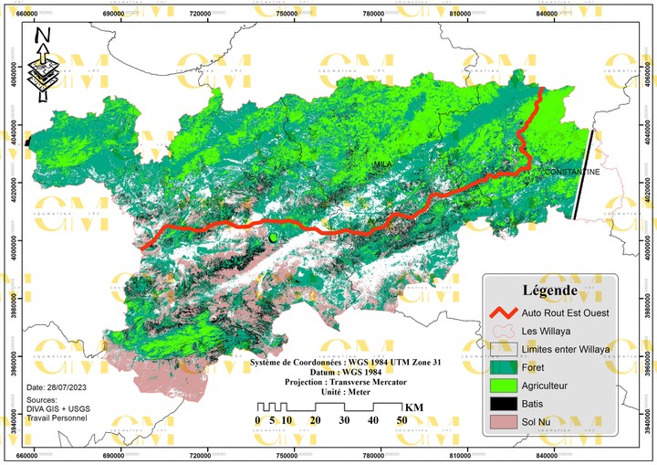
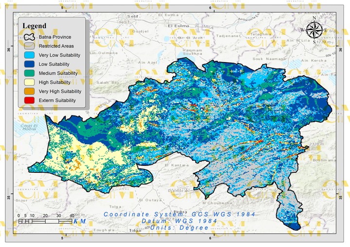
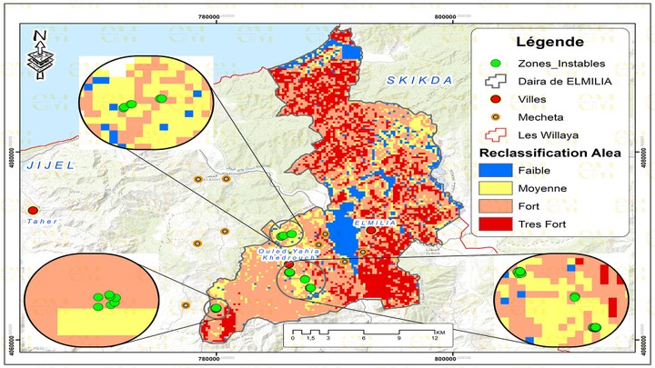
My portfolio showcases projects in environmental monitoring, urban planning, and geospatial data analysis. I have a proven track record of delivering user-friendly WebGIS applications that provide valuable insights and enhance decision-making.
As a GIS and WebGIS Developer, I am dedicated to pushing the boundaries of geospatial technology and creating solutions that make a positive impact on industries such as environmental conservation, urban development, and disaster management. Let's collaborate to transform your geospatial ideas into reality.


