Cairo Traffic Intelligence Lab
تفاصيل العمل
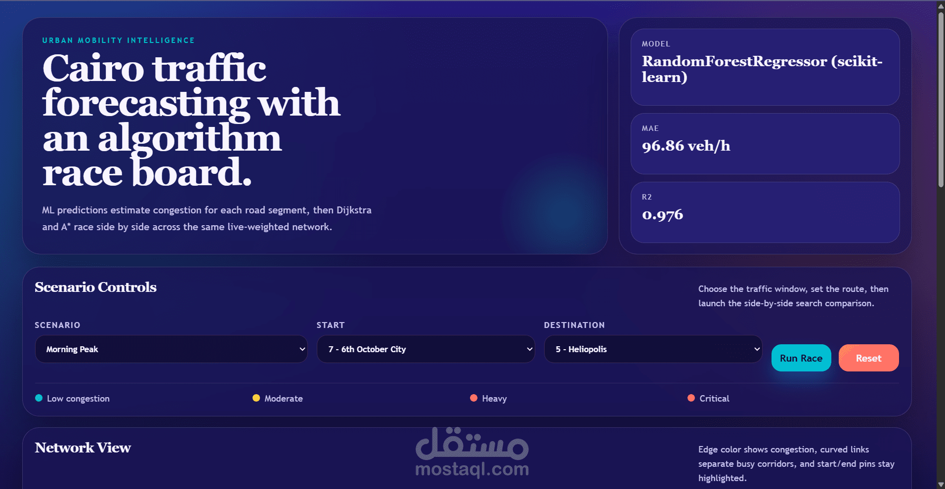
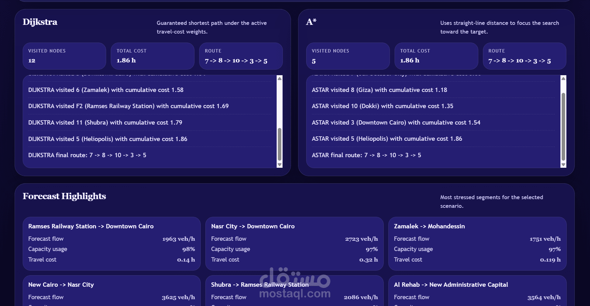
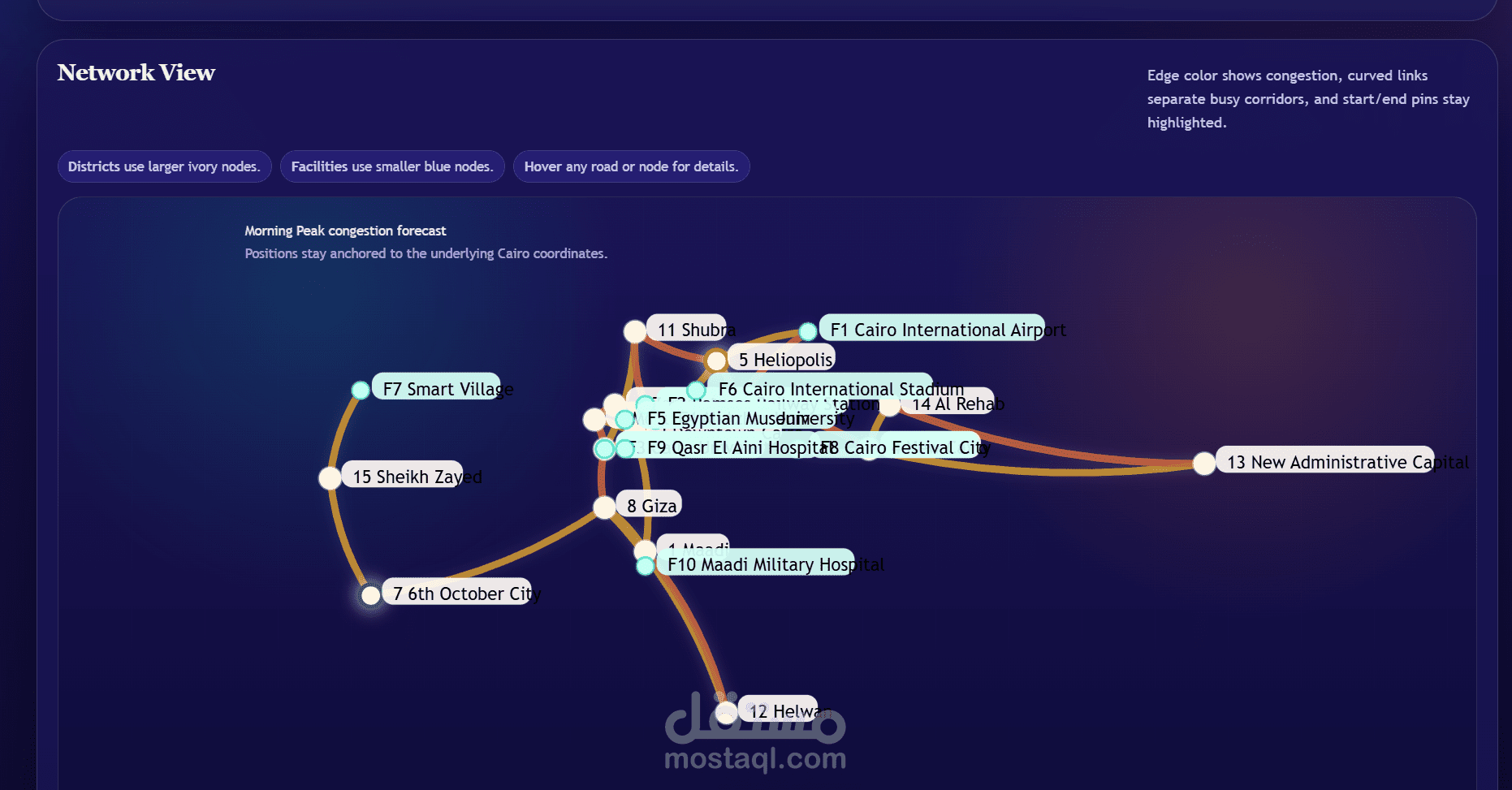
Cairo Traffic Intelligence Lab is a traffic forecasting and route analysis project focused on Cairo road segments and urban districts. The project combines machine learning traffic prediction with graph-based pathfinding to compare how Dijkstra and A* behave on the same congestion-weighted road network.
Project Overview
The app visualizes a modeled Cairo traffic network and lets the user:
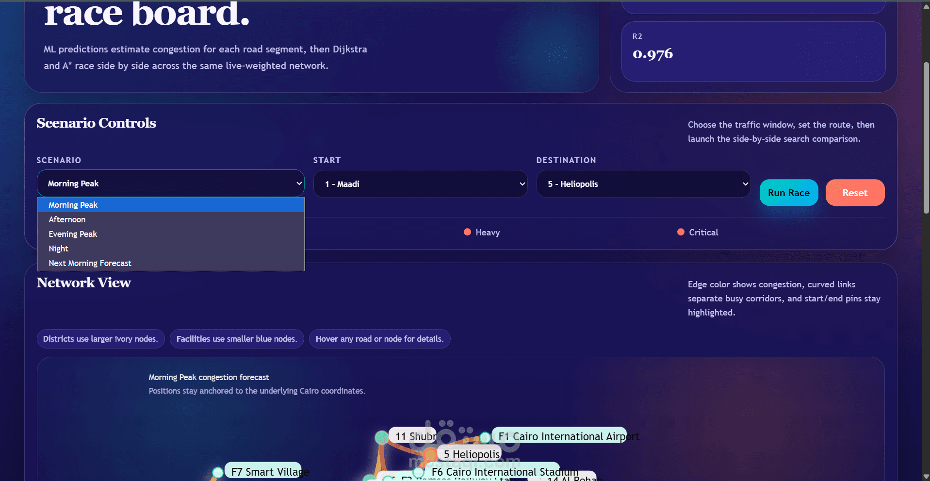
Select a traffic scenario such as Morning Peak, Afternoon, Evening Peak, or Night.
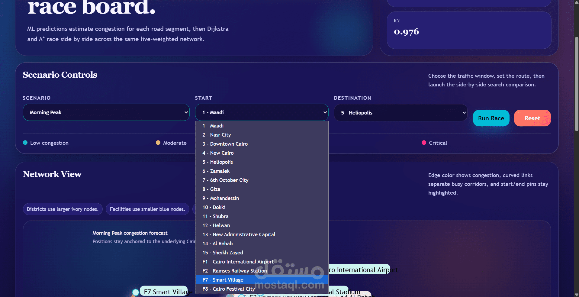
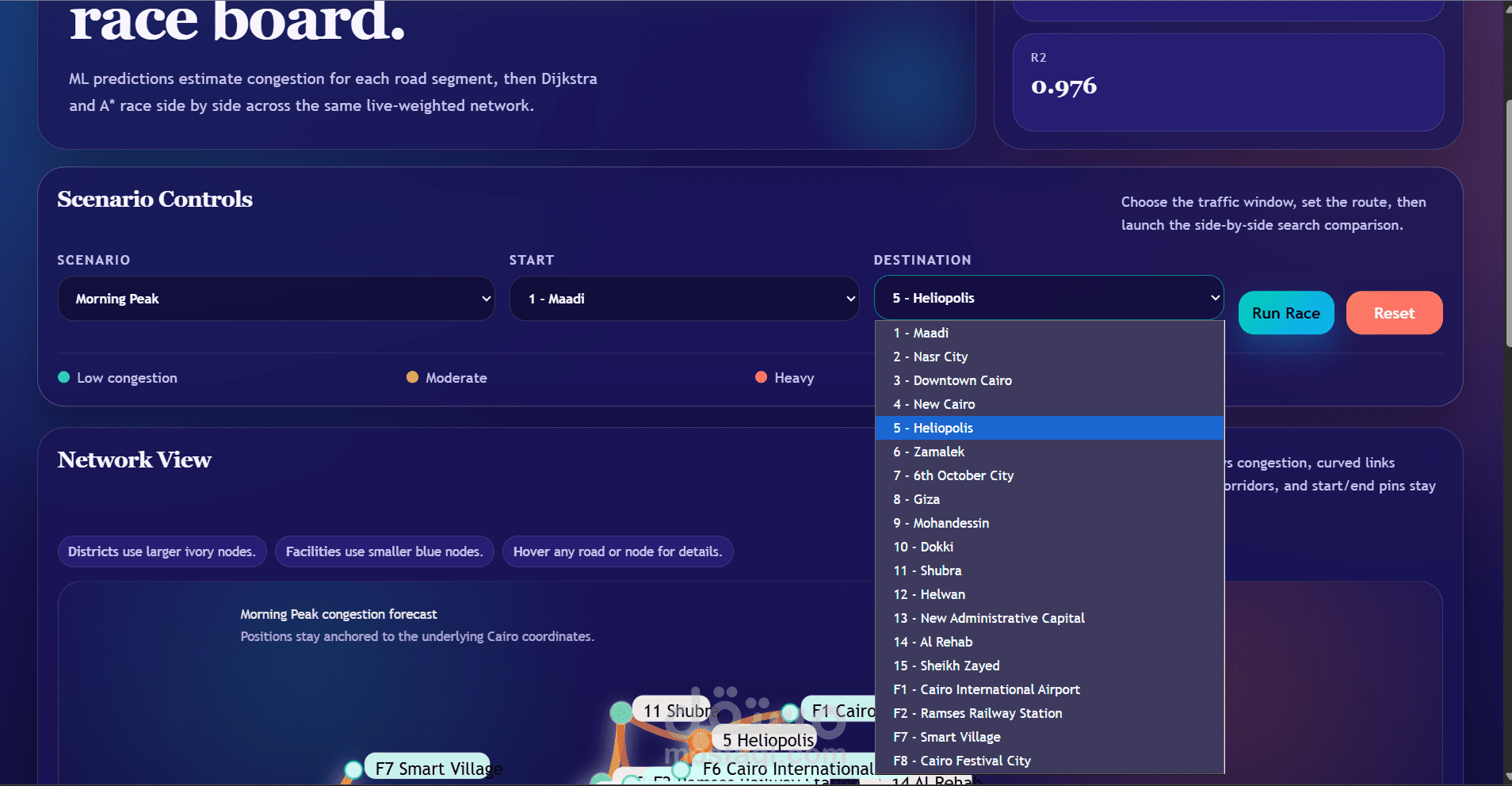
Choose a start point and destination.
Compare Dijkstra and A* side by side on predicted travel costs.
Explore congestion hotspots and suggested new road connections.
The interface is built as a lightweight web app using HTML, CSS, and JavaScript, while the data generation pipeline uses Python and scikit-learn.
Main Features
Interactive Cairo network map with districts and facilities.
Congestion-based edge coloring for quick visual analysis.
Side-by-side algorithm race board for Dijkstra and A*.
Machine learning predictions generated with RandomForestRegressor.
Forecast highlights for the most stressed road segments.
Exported app data in both JavaScript and JSON formats.
Model Information
The generated project data currently reports:
City: Cairo
Dataset source: CSE112 Project Provided Data PDF
Model: RandomForestRegressor (scikit-learn)
Mean Absolute Error: 96.86 veh/h
R2 Score: 0.976
Training rows: 1512
Test rows: 303