gis data و analysis
تفاصيل العمل
As a GIS Specialist focused on spatial analysis, I apply advanced geospatial techniques to examine, interpret, and visualize spatial patterns and relationships. My role includes collecting, processing, and analyzing geographic data to support data-driven decision-making across various sectors, including urban planning, environmental management, and public health.
Key Responsibilities:
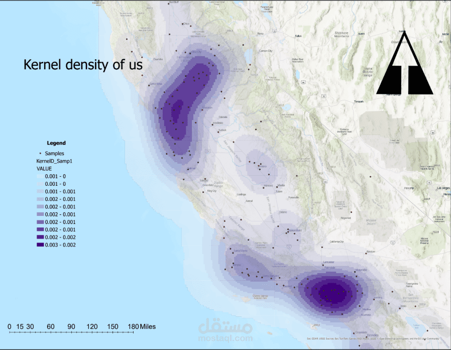
Conduct spatial statistical analyses (e.g., spatial autocorrelation, clustering, and randomness tests).
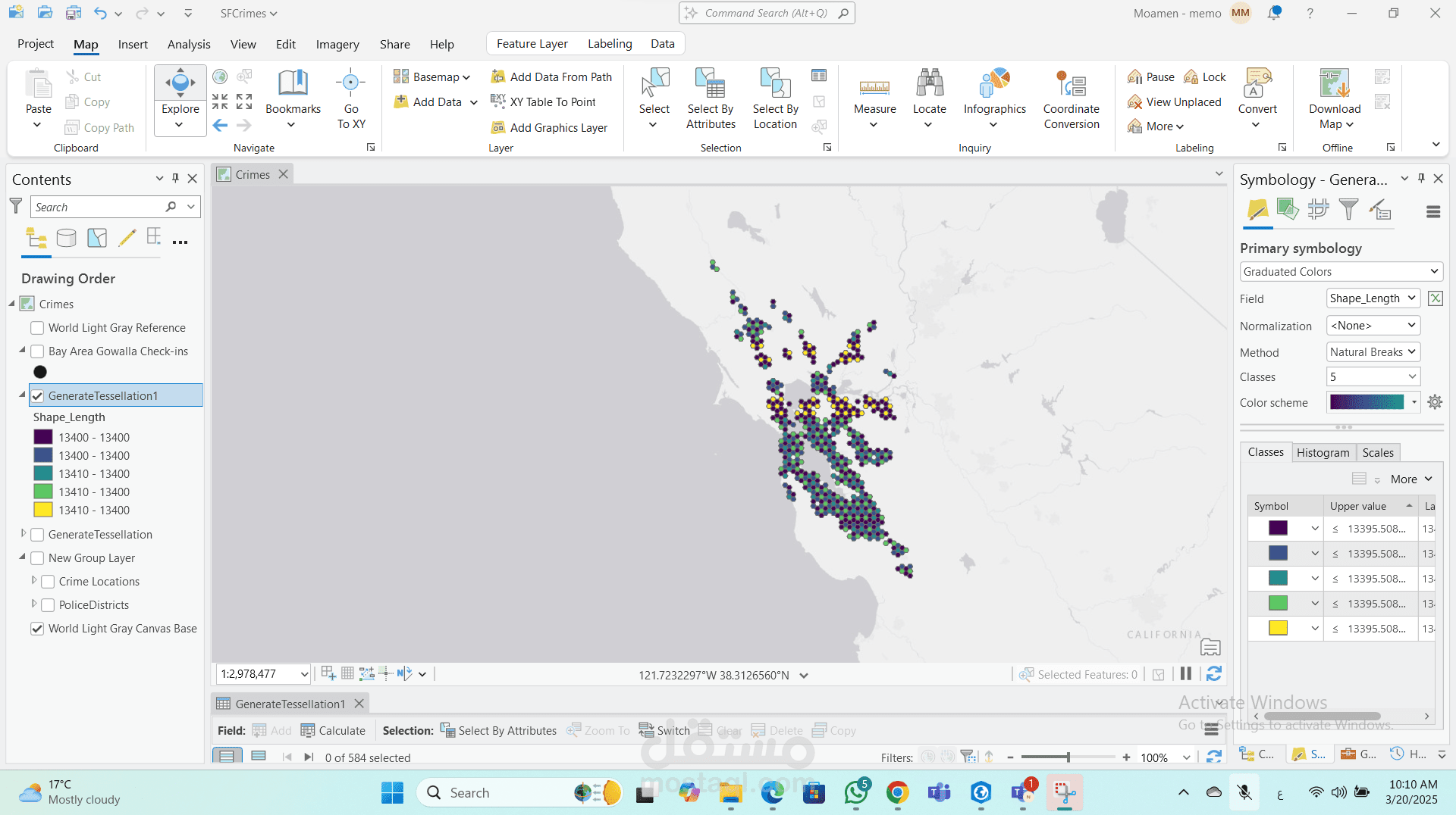
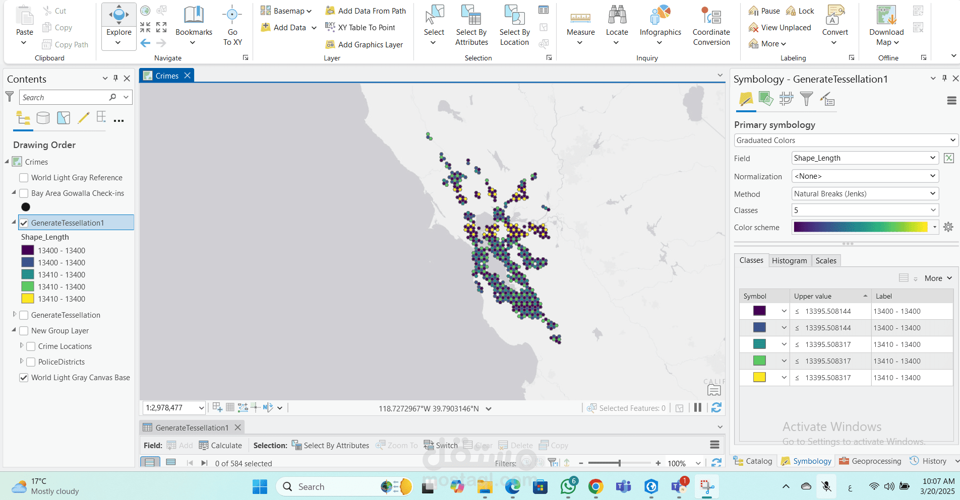
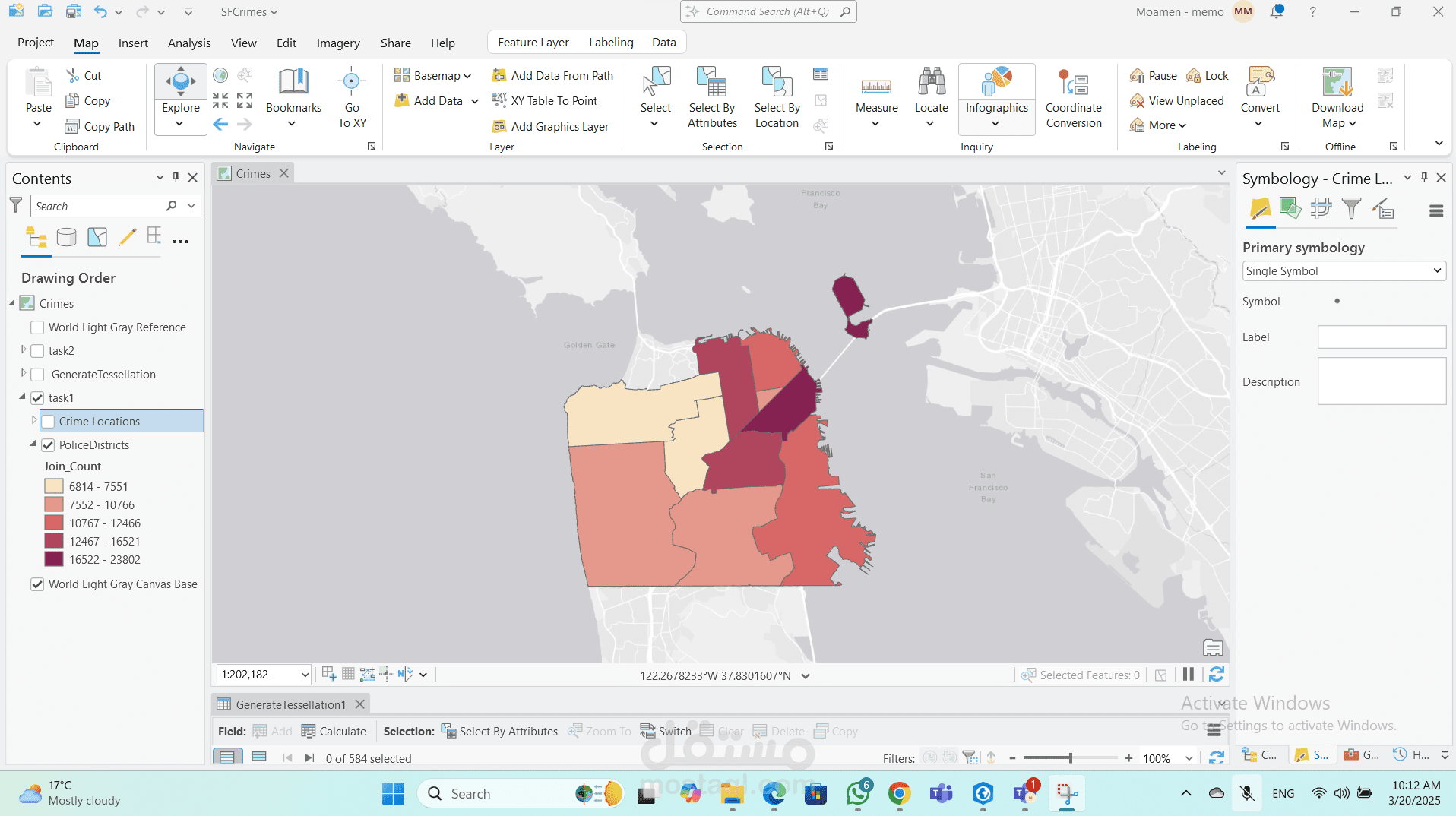
Utilize ArcGIS Pro tools such as Average Nearest Neighbor, Moran’s I, and Ripley’s K-function to detect spatial patterns.
Perform network and proximity analysis for transportation, service coverage, and site selection studies.
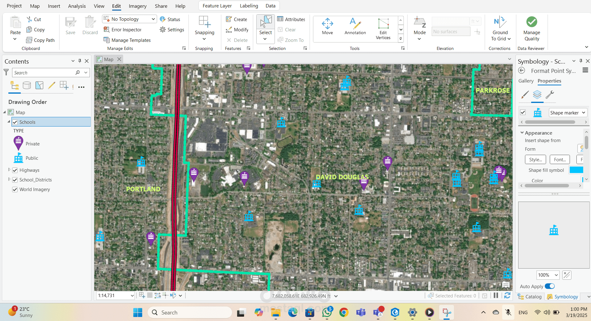
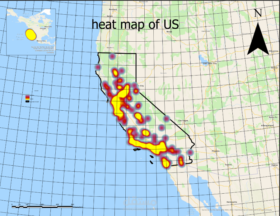
Prepare professional maps, analytical reports, and dashboards for stakeholders.
Integrate data from multiple sources (satellite imagery, field surveys, CAD) into GIS environments.
Support planning and policy by identifying spatial trends, hotspots, and risk zones.
Technical Skills Used:
ArcGIS Pro (Spatial Analyst, Geostatistical Analyst, ModelBuilder)
Spatial statistics and geoprocessing tools
Data visualization and map design
Coordinate system management and geodatabase creation