Geographic Information Systems Developer
تفاصيل العمل
created GIS open source project using QGIS created 100 polygon.
Submited web map in OSM data server as a SHP file refers to datasets above.
integrated Extract Sources For Open Street Map such as Overpass turbo, Bbbike viewing the
data layer of 100 feature.
Facilitated effective troubleshooting, maintenance, and two cases edited in the web map
solution by establishing streamlined communication channels between clients; ensured prompt
issue resolution and enhanced overall system stability.
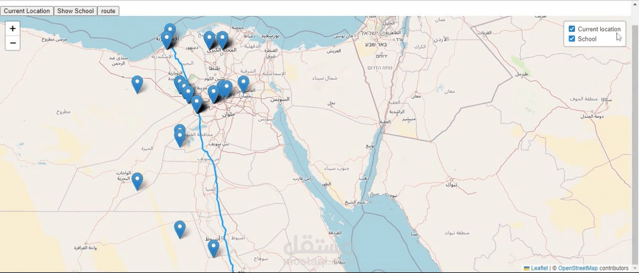
Developed a highly efficient web map solution using React-Arc-JS, where JavaScript comprised
90% of the application codebase; resulted in improved user experience and seamless integration
with existing systems.