Satellite Image Classification Using Custom ResNet50 Architecture
تفاصيل العمل
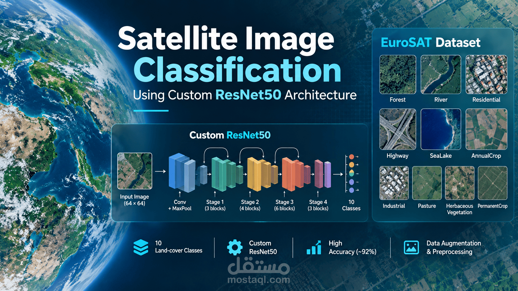
This project uses deep learning to classify satellite images into 10 land-cover categories using a custom ResNet50 architecture built from scratch in PyTorch. Using the EuroSAT dataset, the model learns to identify categories such as forests, rivers, residential areas, highways, and agricultural land. The project includes image preprocessing and augmentation, residual learning with skip connections, and model training using the Adam optimizer and CrossEntropyLoss. The model was evaluated using accuracy, loss curves, a confusion matrix, and a classification report, achieving approximately 92.69% test accuracy.