GIS-Based Groundwater Vulnerability and Nitrate Contamination Assessment
تفاصيل العمل
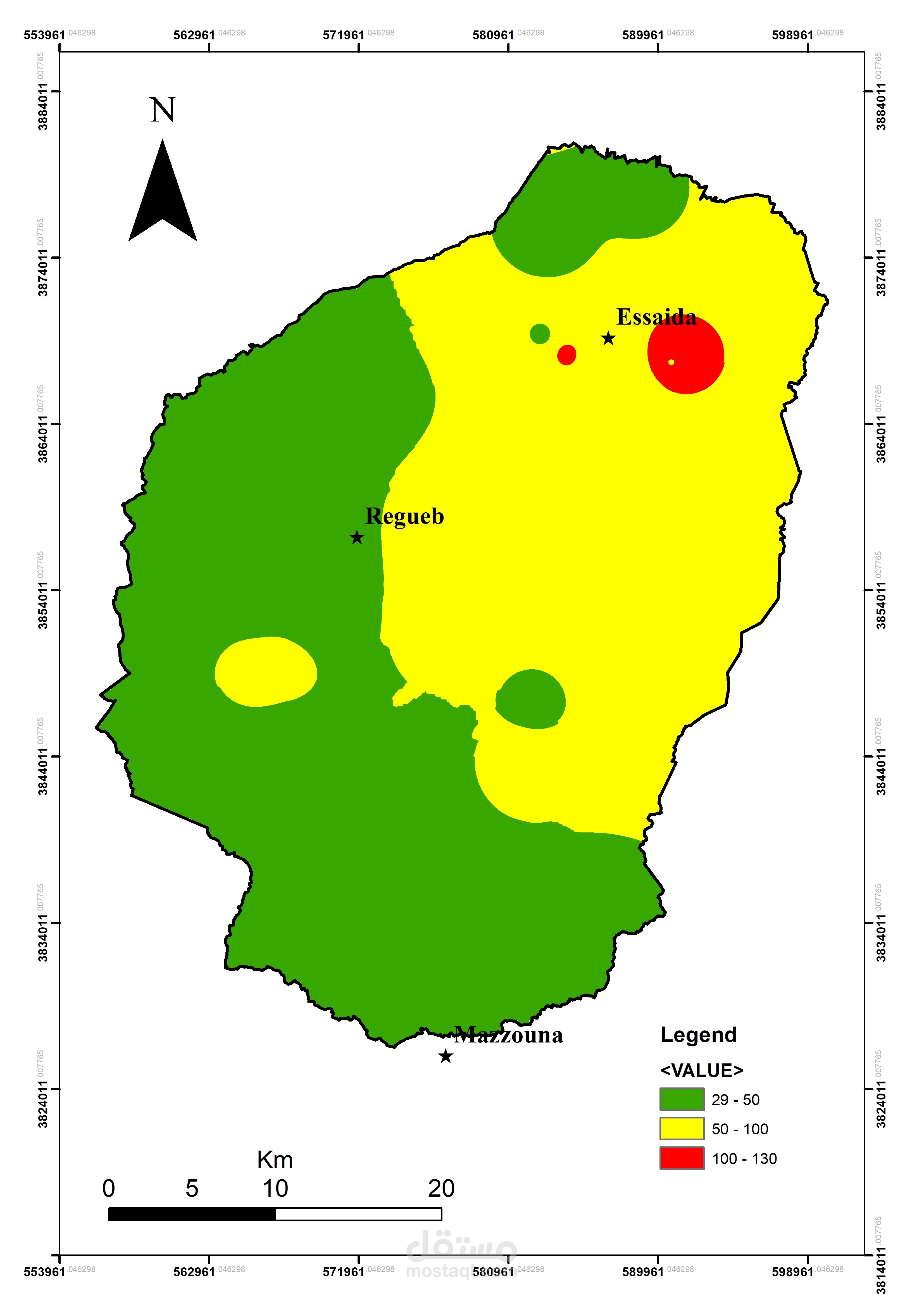
This project focuses on groundwater vulnerability assessment and nitrate contamination mapping in a semi-arid region of Tunisia. GIS techniques were used to integrate hydrogeological, geological, and environmental data to identify areas susceptible to groundwater contamination.
The work involved spatial data processing, thematic map preparation, vulnerability assessment, and interpretation of groundwater quality indicators. The results support environmental assessment and sustainable groundwater resource management.
Tools: ArcGIS, spatial analysis, hydrogeological data interpretation, and thematic mapping.