3D Land Use Visualization | ArcGIS Pro
تفاصيل العمل
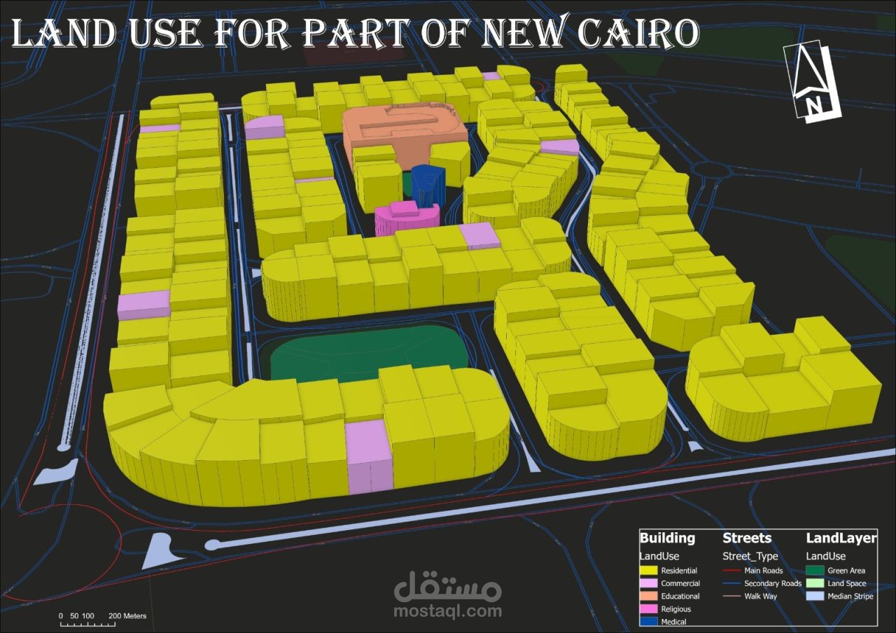
I'm pleased to share another GIS portfolio project developed using ArcGIS Pro.
This project presents a 3D visualization of land use in a selected area of New Cairo, using building extrusion and land use classification to provide a clearer understanding of the urban landscape.
📌 Project Highlights
Developed a 3D scene representing different land use categories.
Applied building extrusion to enhance urban visualization.
Designed a professional cartographic layout for clear and effective presentation.
🛠️ Tools & Skills
ArcGIS Pro (3D Scene)
3D Visualization
Building Extrusion
Land Use Classification
Cartographic Design
Layout Creation
This project helped me further develop my skills in 3D GIS visualization and cartographic presentation, while demonstrating how geospatial data can be transformed into meaningful visual insights.
I always welcome feedback and suggestions.