Topographic Survey & Site Alignment
تفاصيل العمل
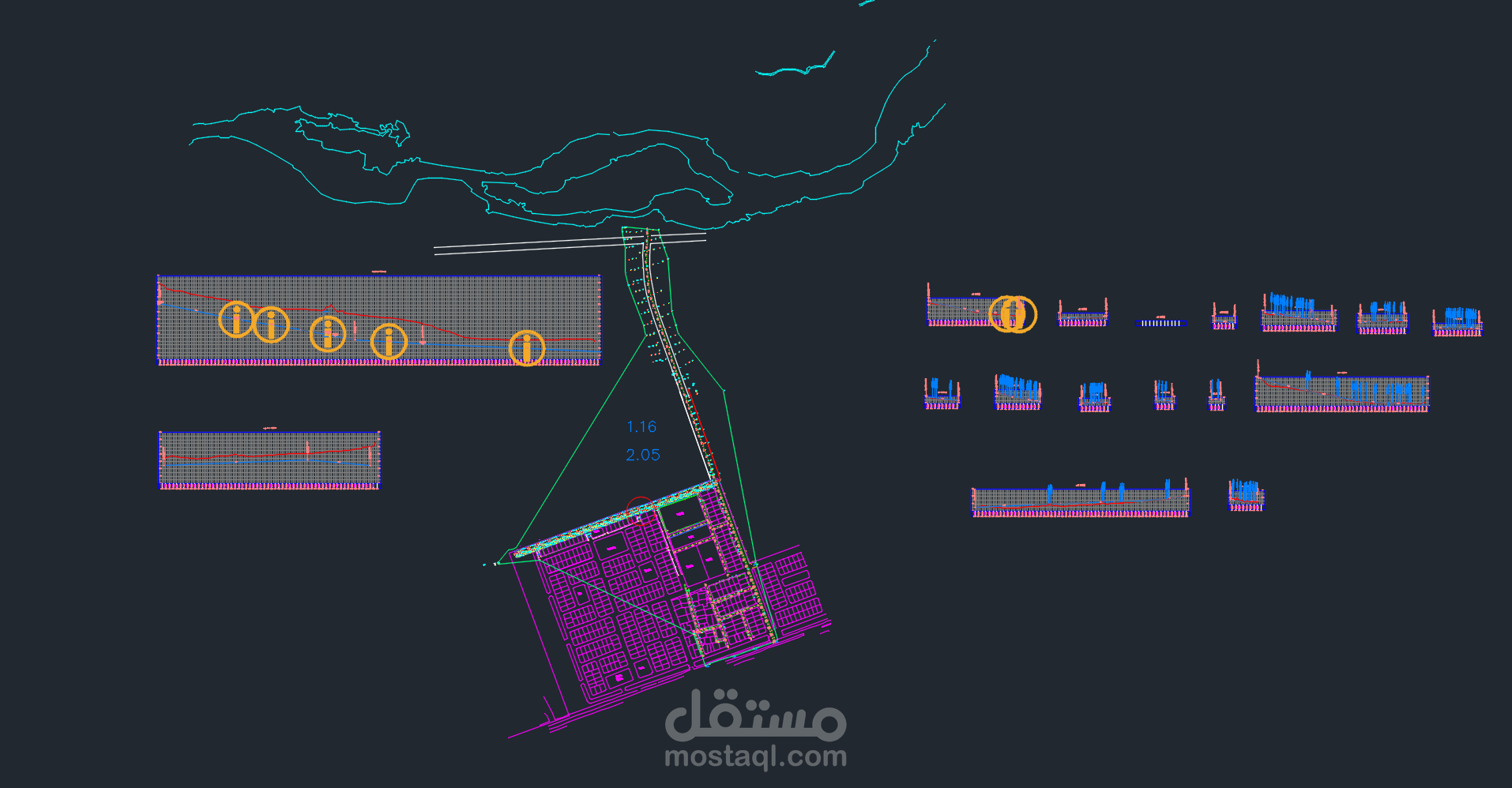
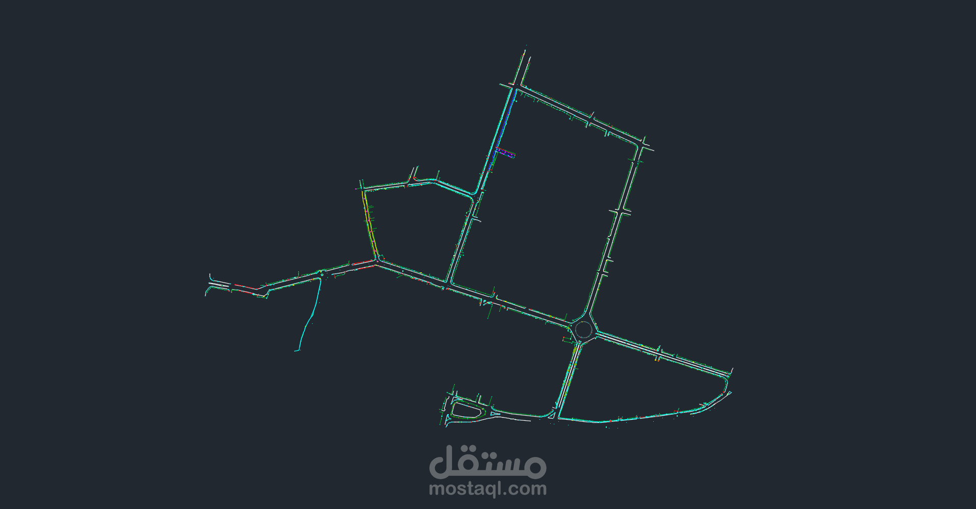
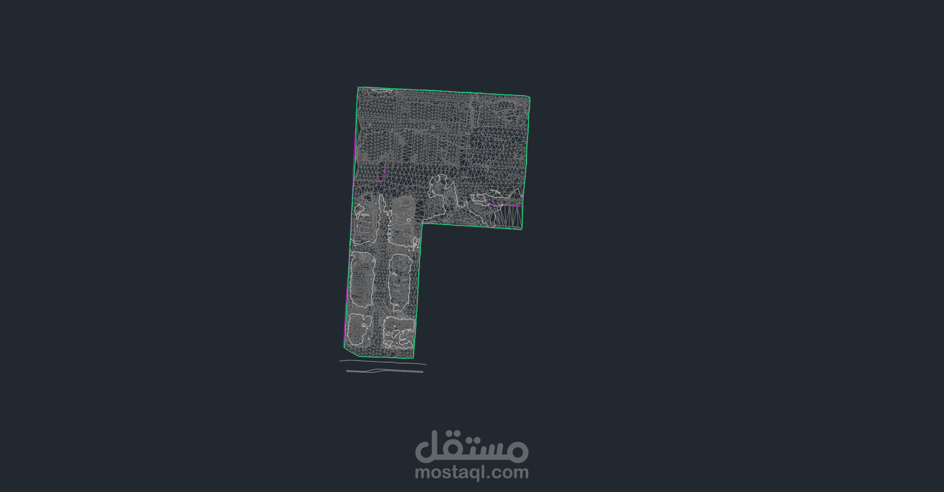
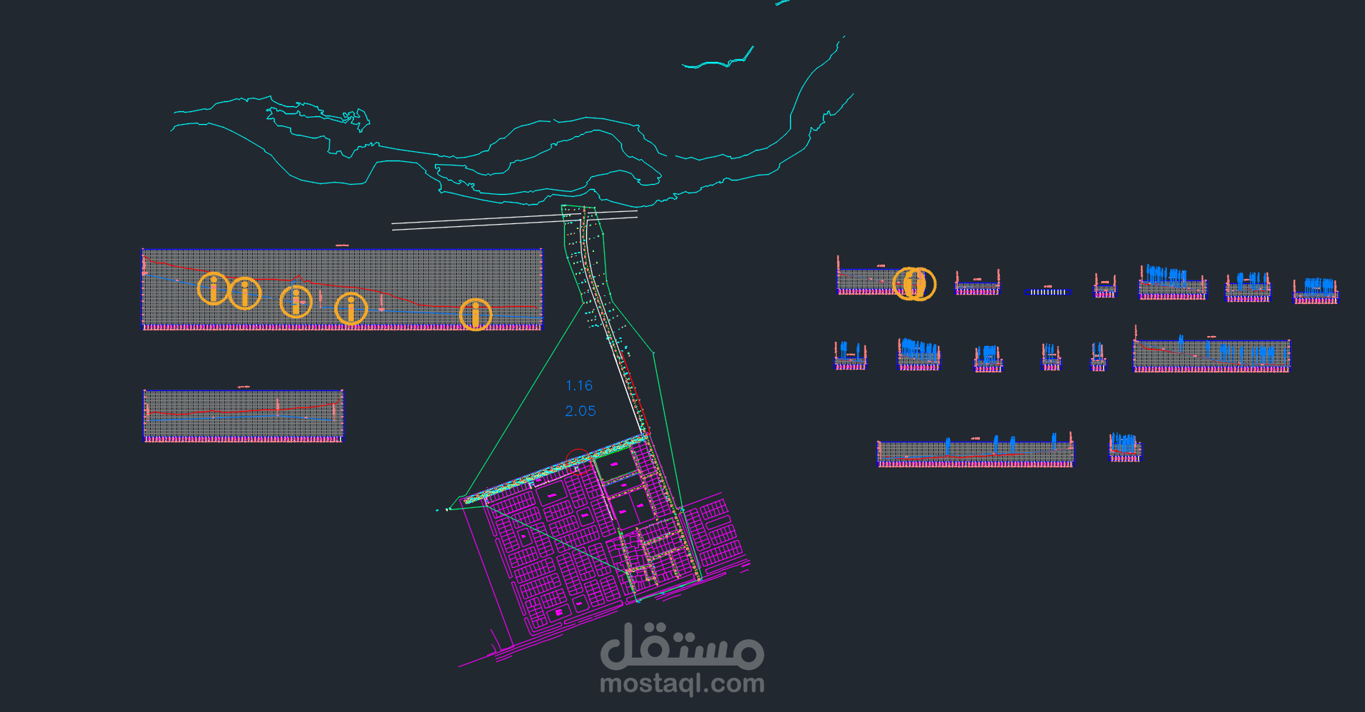
Topographic Surveying & Civil 3D Infrastructure
Layout
Professional engineering profile and alignment design created using Civil 3D.
Key Technical Aspects:
• Surface modeling & topographic contour generation.
Road alignment profiles and longitudinal section views.
Site layout and structural boundaries integration.
Earthwork analysis and execution-ready site plans.
Software Used: Autodesk Civil 3D, AutoCAD.