Diabetes Distribution Analysis Using GIS
تفاصيل العمل
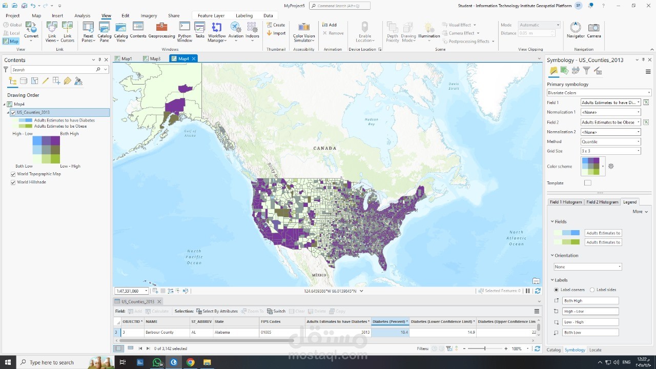
This project presents a spatial analysis of diabetes prevalence across counties in the United States using GIS techniques.
I created a bivariate choropleth map to visualize the relationship between diabetes and obesity rates, making it easier to identify geographic patterns and areas with higher health risks.
Tools Used:
• ArcGIS Pro
• Spatial Data Visualization
• Bivariate Choropleth Mapping
• Data Classification and Symbology
The final map provides clear insights that support data interpretation and decision-making.