Complete Photogrammetric Processing for Topographic Survey
تفاصيل العمل
My role. Photogrammetry Specialist & Terrain Modeling Expert
Project description
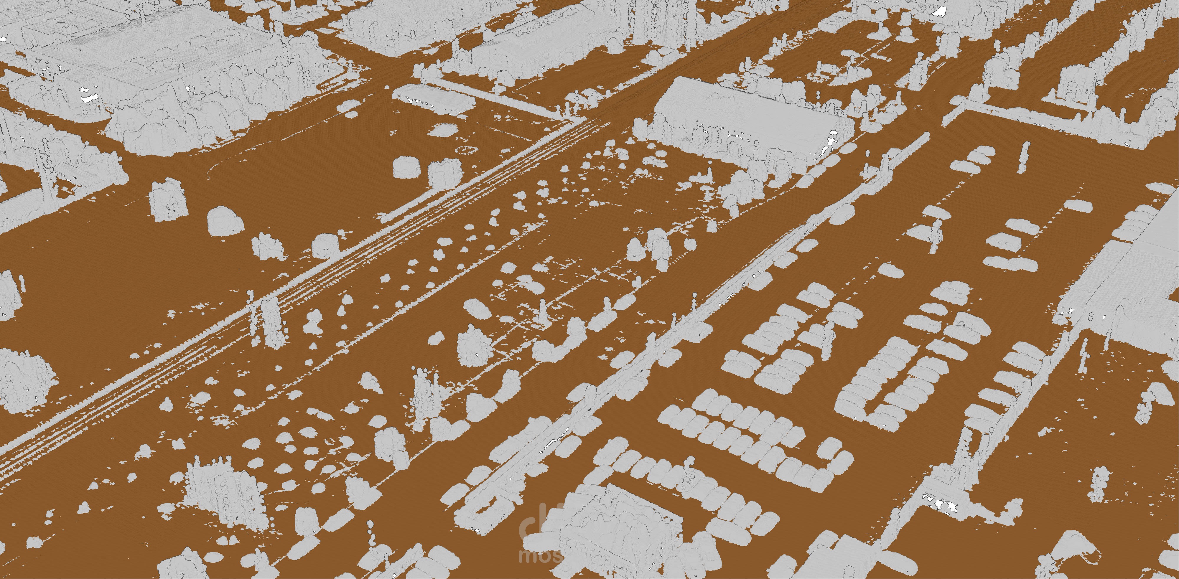
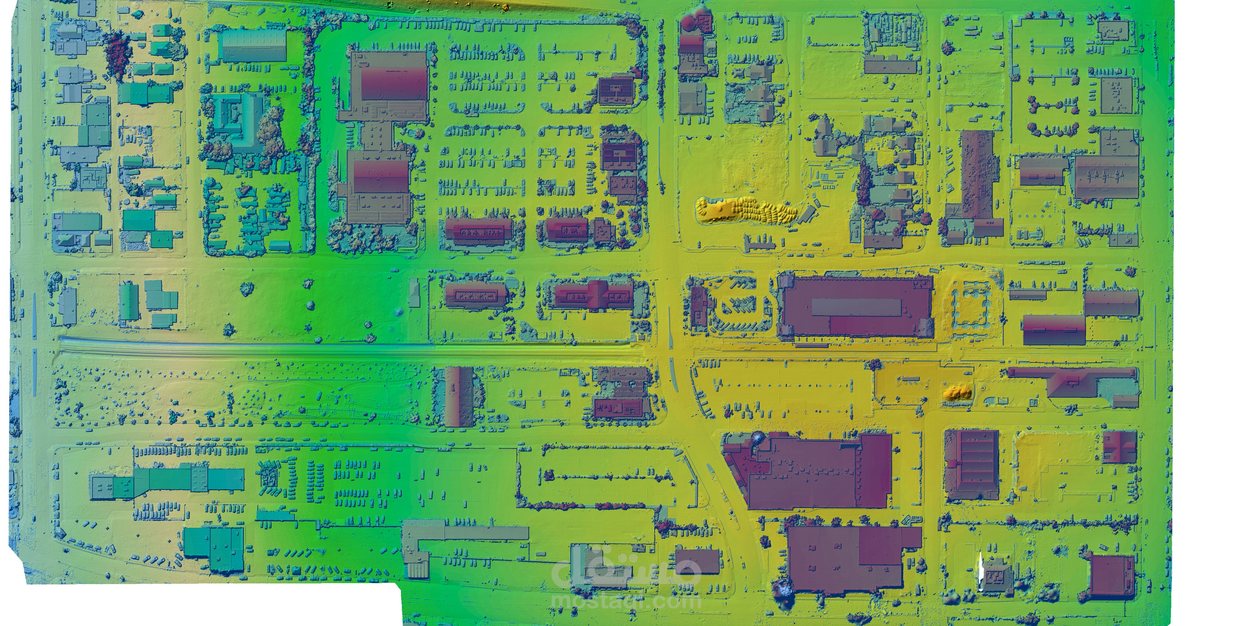
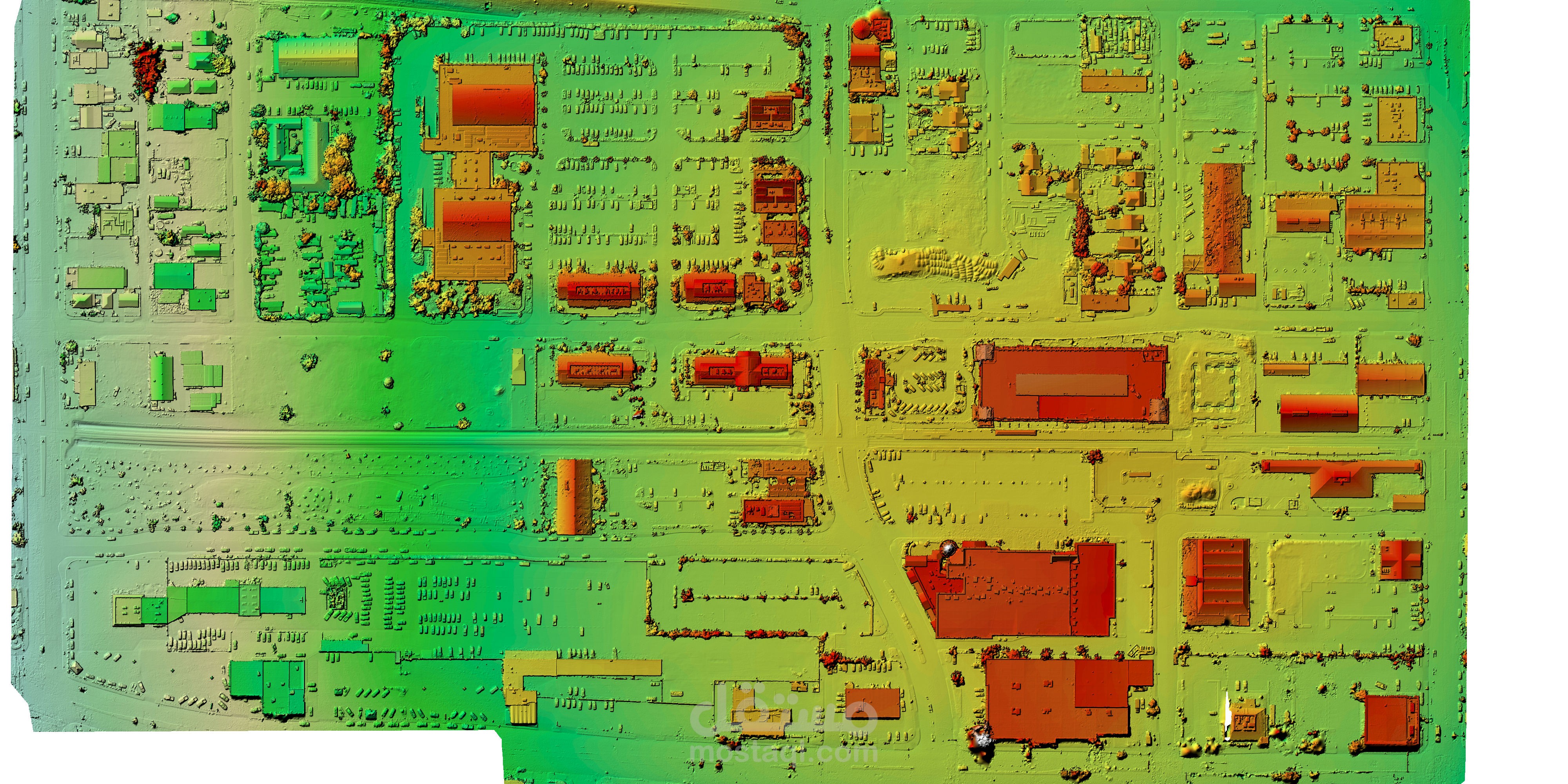
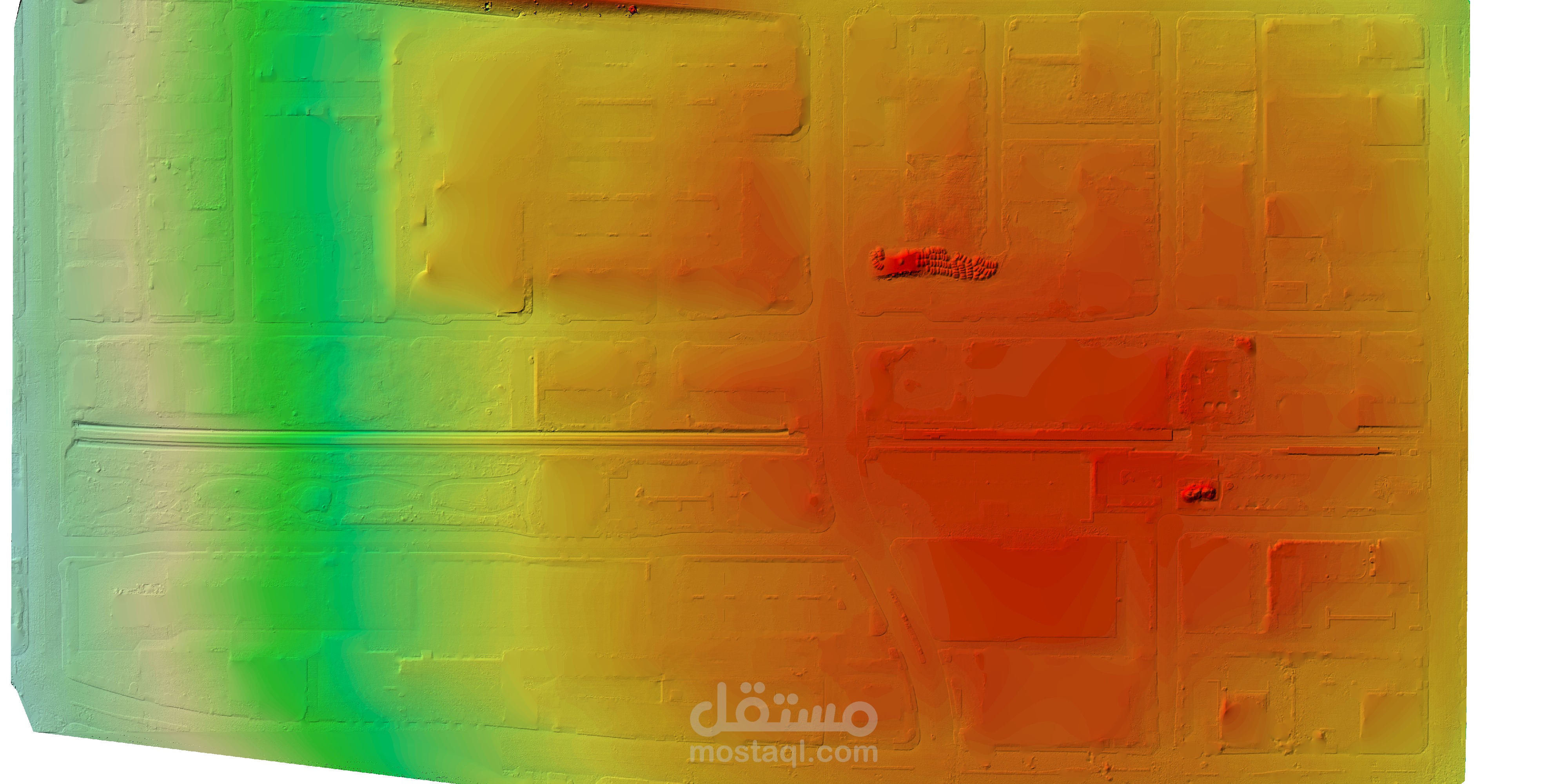
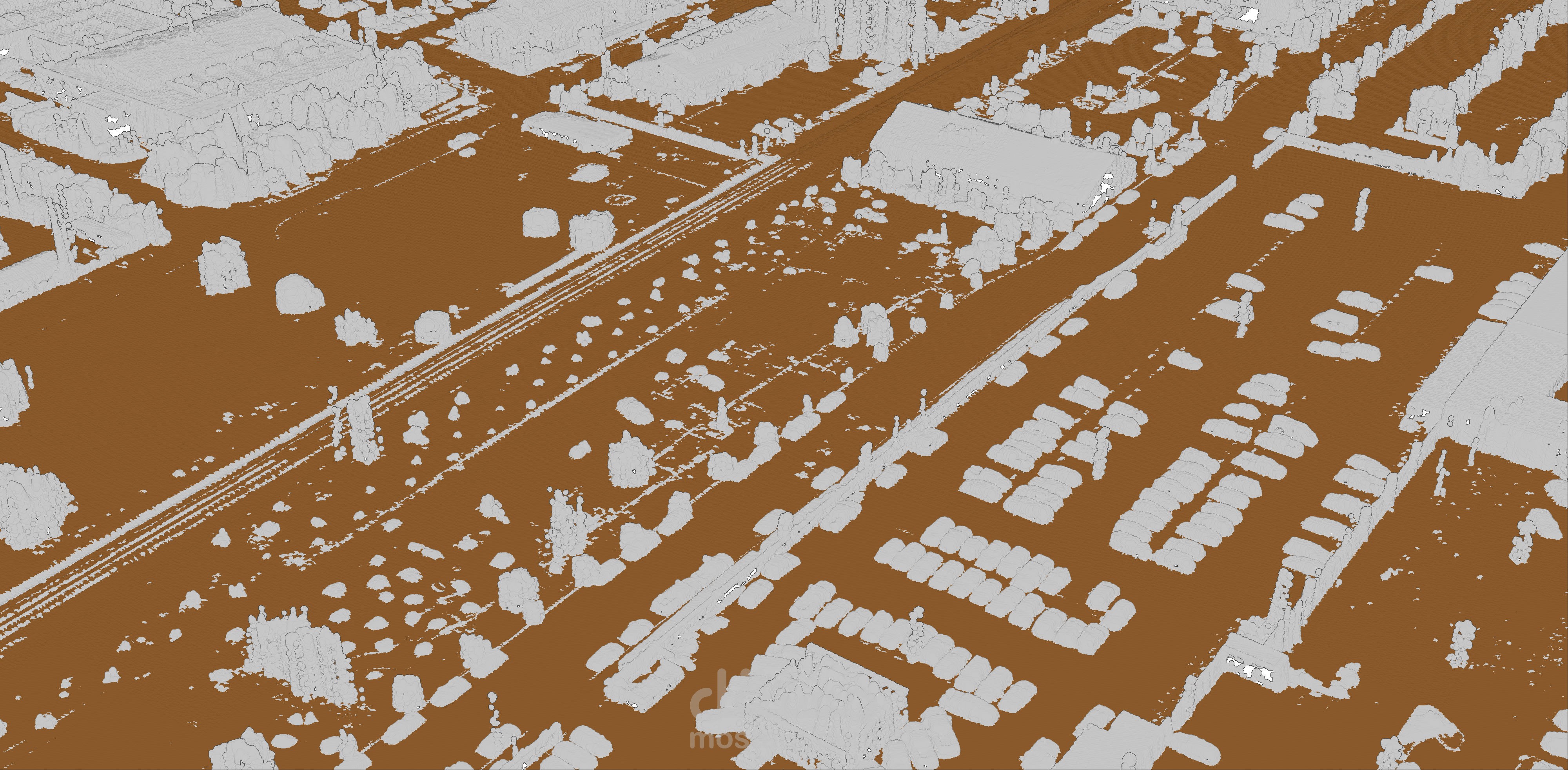
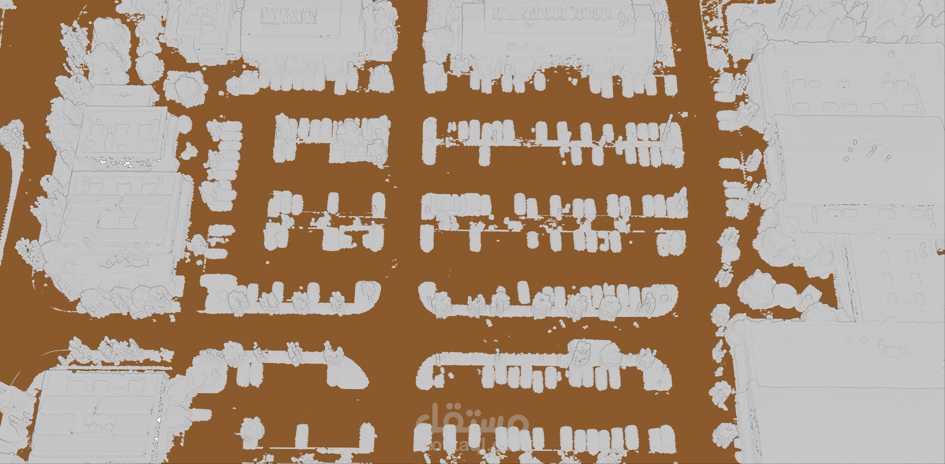
Received optical nadir drone images from the client and performed complete photogrammetric processing to generate a full suite of survey-grade deliverables including point cloud, orthophoto, DSM, DTM, contour lines, and spot elevations.
Image quality assessment and pre-processing
Aerial triangulation and bundle adjustment
Dense point cloud generation
Orthomosaic production
Digital Surface Model (DSM) creation
Digital Terrain Model (DTM) extraction
Contour line generation
Spot elevation extraction