Central Water Pump Station project in Dammam, Saudi Arabia
تفاصيل العمل

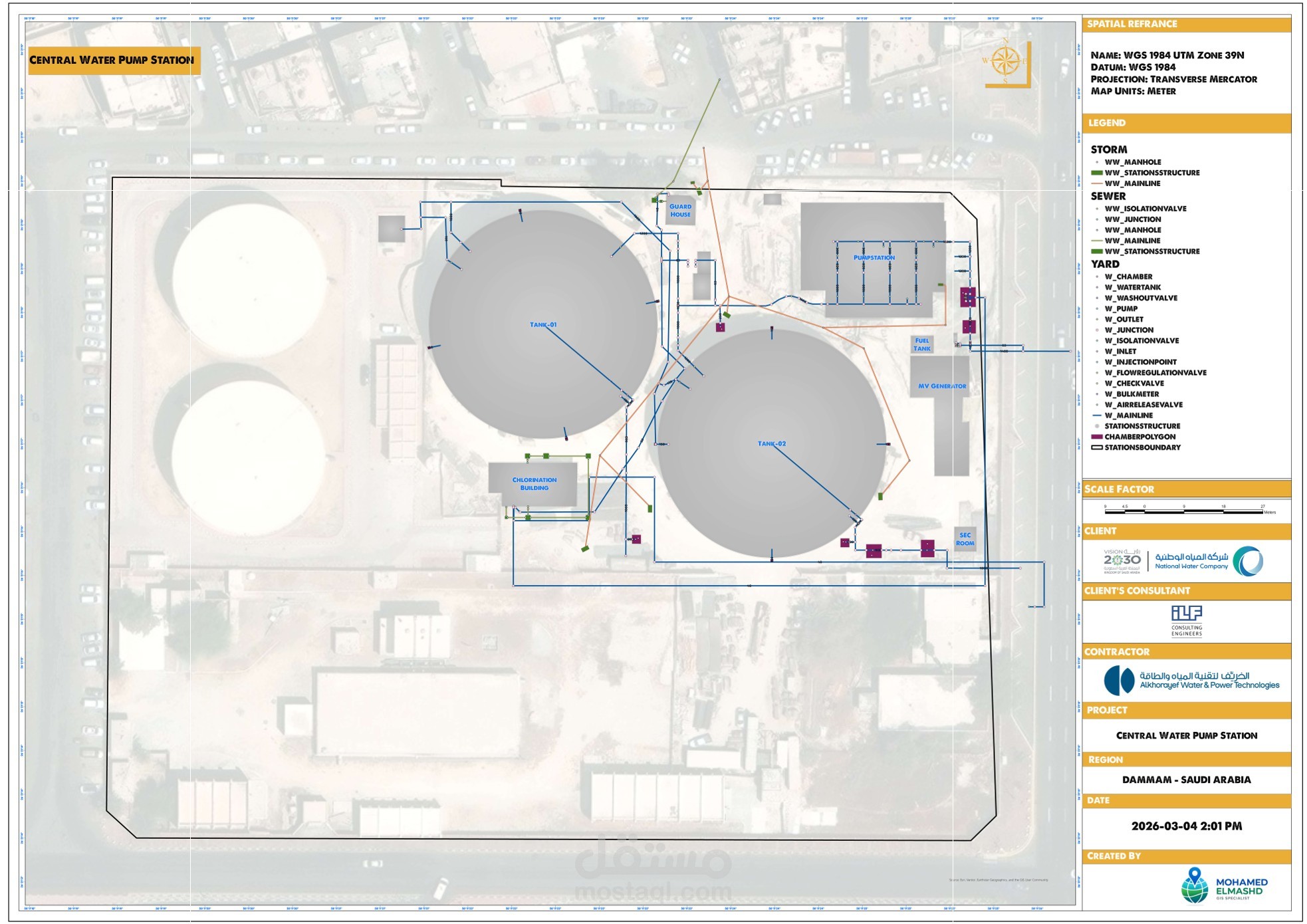
I worked on developing a comprehensive GIS dataset and professional cartographic layout for a Central Water Pump Station project in Dammam, Saudi Arabia.
The work included preparing the complete attribute database and integrating engineering data extracted from shop drawings and mechanical drawings of the pump station components, including tanks, pump rooms, chambers, metallic pipelines, and the main pipeline network.
Key tasks performed:
• Preparing and structuring the Attribute Tables for the infrastructure network
• Extracting and digitizing engineering data from Shop Drawings
• Interpreting mechanical drawings of the pump station, tanks, rooms, and pipelines
• Extracting elevation levels and integrating them into the GIS database
• Connecting pipelines with nodes and ensuring spatial continuity
• Building and validating Topology rules for the entire network
• Producing a professional GIS layout for the utility network using ArcGIS Pro
This work demonstrates the integration between engineering documentation and GIS spatial databases to produce accurate infrastructure mapping that supports engineering and operational decision-making.
Tools used: ArcGIS Pro | GIS Cartography | Utility Network Mapping