AgriVision - Multispectral Satellite Water Segmentation
تفاصيل العمل
Standard computer vision networks traditionally rely on 3-channel (RGB) images, making them susceptible to visual misinterpretations where dark shadows, dense forests, or black asphalt are wrongly classified as water.
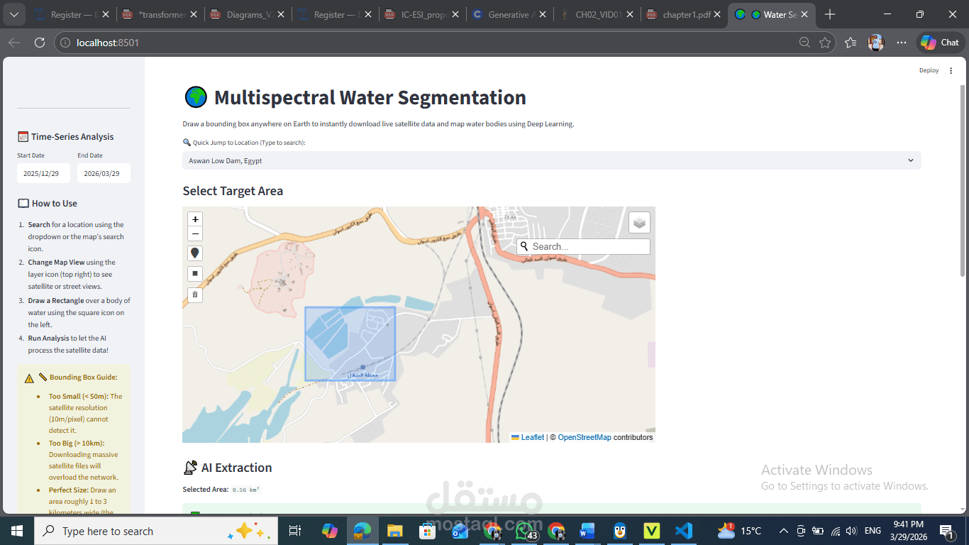
This project solves this limitation by implementing a 12-channel multispectral AI engine. It digests not just visible light, but Near-Infrared (NIR), Shortwave Infrared (SWIR), and mathematically synthesized geographic probability bands. Combining Deep Learning with a modern high-performance web architecture, the system allows users to interactively draw bounding boxes anywhere on Earth, fetching live satellite geospatial data, running real-time neural network inference, and rendering the highly precise binary water mask instantly.
This project is meticulously architected following the MVC (Model-View-Controller) pattern, ensuring separation of concerns, scalability, and robust deployment pipelines using Docker.