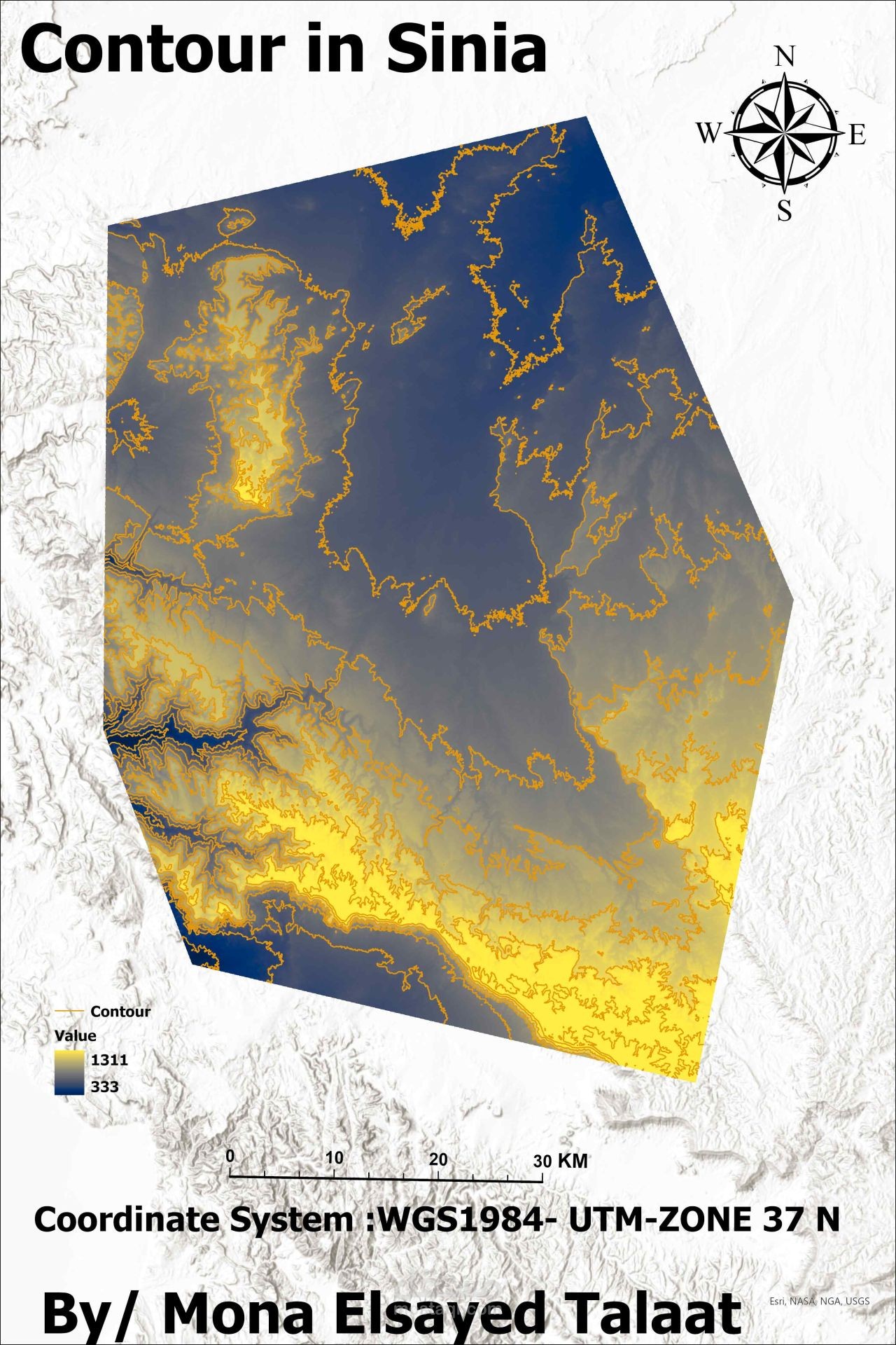
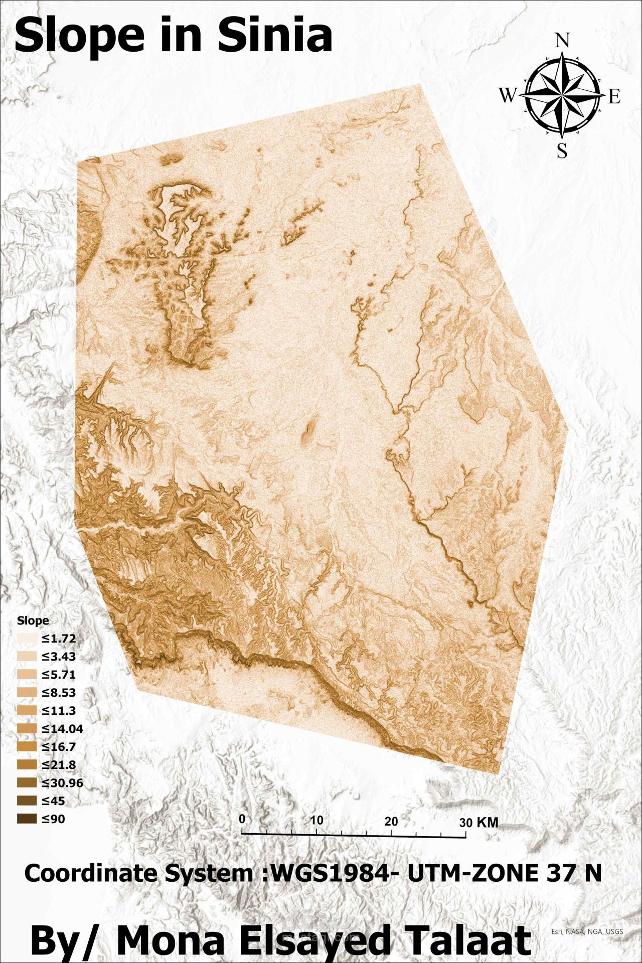
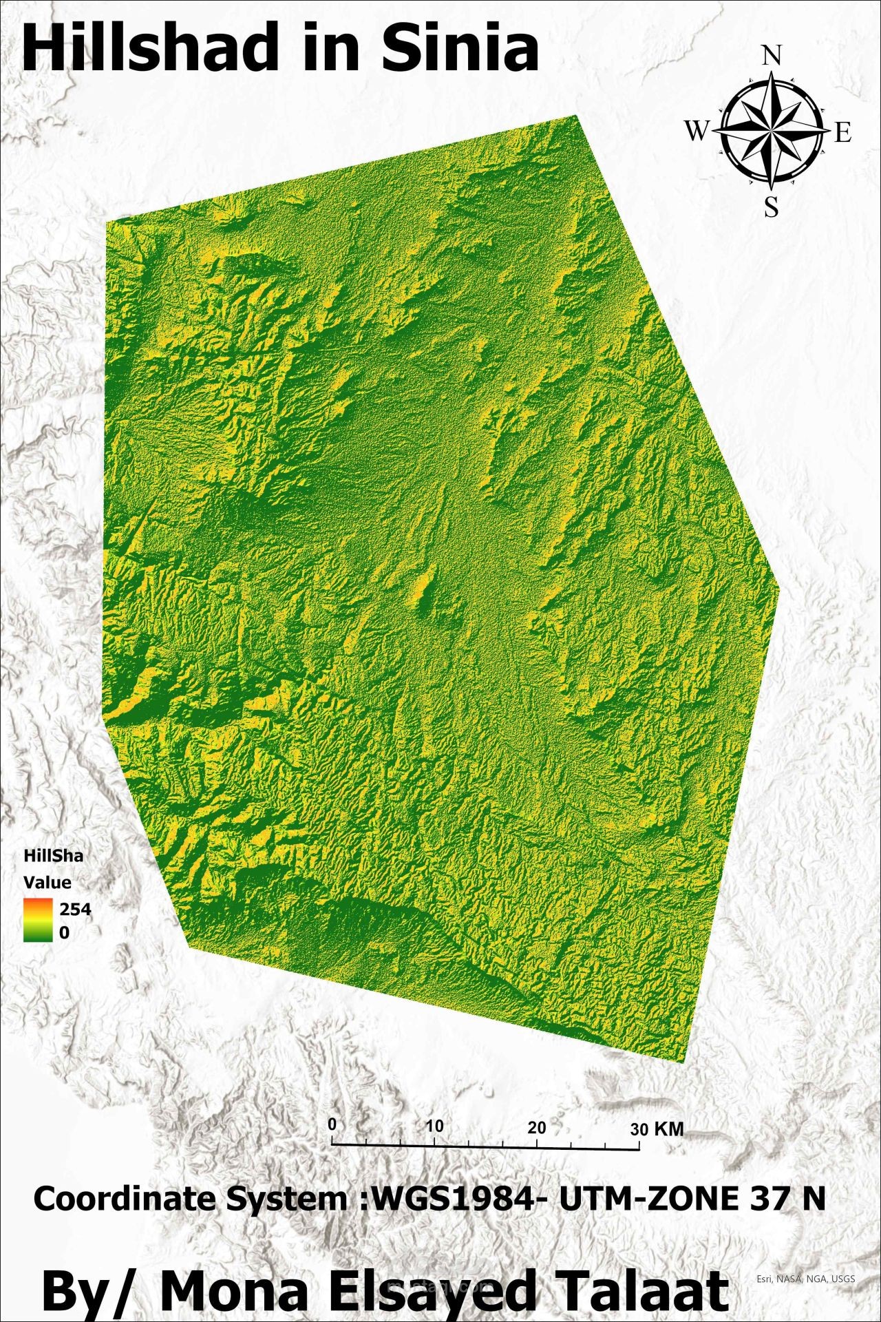
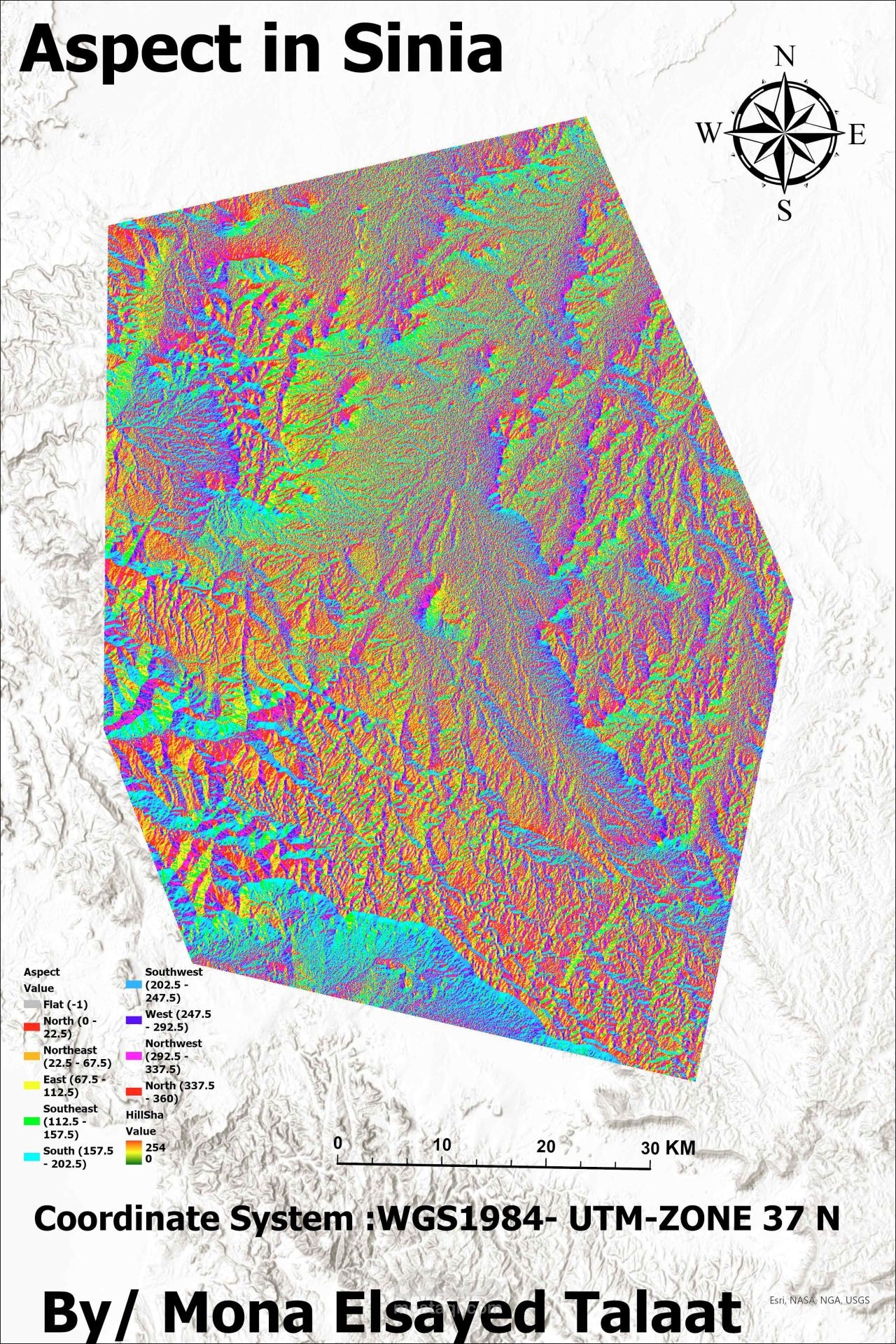
Topographic Analysis
تفاصيل العمل

Need accurate terrain maps for your project
From raw satellite data to professional maps
Here's how I delivered accurate topographic analysis for North Sinai:
Sourced high-resolution imagery from USGS platforms.
Processed data in ArcGIS Pro (filled gaps, enhanced clarity).
Generated topographic maps: contours, slope, and aspect and hillshad analysis.
Applied custom styling for clear, presentation-ready outputs. All maps are manually verified for 99% accuracy—perfect for engineering and planning projects