geographic maps project
تفاصيل العمل
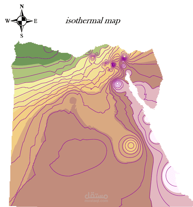
I specialize in Geographic Information Systems (GIS) and spatial analysis, with experience in producing analytical and planning maps that support decision-making in urban planning, infrastructure, and public services.
I have completed a variety of GIS projects, including
Watershed delineation and hydrological mapping for South Sinai, Egypt
Road network and hospital distribution mapping for Alexandria, Egypt, including spatial analysis of service coverage
Site selection and spatial analysis for proposed hospital locations in Arizona, USA, based on multiple geographic criteria
Processing and analyzing satellite imagery and producing high-quality, accurate maps for academic and practical use
Services I provide
Thematic and planning map production
Spatial analysis and optimal site selection
Working with vector (Shapefile) and raster data
Satellite imagery processing and GIS-based analysis
Professional cartographic map design for reports and presentations
I focus on accuracy, clear analysis, and delivering high-quality outputs on time, with flexibility for revisions based on client requirements