Map Application
تفاصيل العمل
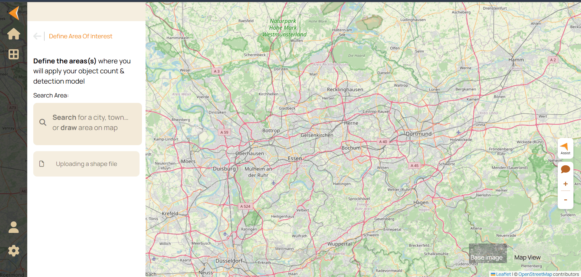
This project is an interactive web-based mapping application built using React, React-Leaflet, and Leaflet-Geoman. It allows users to visualize, draw, and manage geographic data on a dynamic map interface. The application is designed for ease of use, real-time interaction, and flexibility in handling different types of spatial data.
Key Features:
Interactive Map Rendering: Utilizes Leaflet for responsive and efficient map rendering.
Drawing and Editing Tools: Integrated with Leaflet-Geoman, users can draw, edit, and delete shapes such as polygons, rectangles, and circles directly on the map.
GeoJSON Export: Shapes drawn on the map can be exported to GeoJSON format for external use.
Custom Styling: Each shape can be styled dynamically with colors, borders, and opacity based on user input or predefined settings.
Dynamic Layer Management: Multiple layers and shapes can be organized, toggled, and updated without reloading the map.
Responsive Design: Works seamlessly across desktop and mobile devices.
Technologies Used:
React for building the frontend and component structure.
React-Leaflet & Leaflet for map rendering and interactions.
Leaflet-Geoman for advanced drawing and editing functionalities.
TypeScript for type safety and maintainable code.
Tailwind CSS for styling and responsive design.
Challenges Solved:
Managing dynamic shape states and syncing them with GeoJSON.
Handling various shape types while maintaining a clean and interactive UI.
Ensuring compatibility of drawn shapes with export/import functionality.
Implementing smooth interactions without performance degradation on complex maps.
Potential Enhancements:
Real-time collaboration on maps.
Integration with external GIS APIs.
Advanced filtering and search for shapes by attributes.
User authentication for personalized map storage.