Drone-Based Survey of Muzza Channel and Adda River
تفاصيل العمل
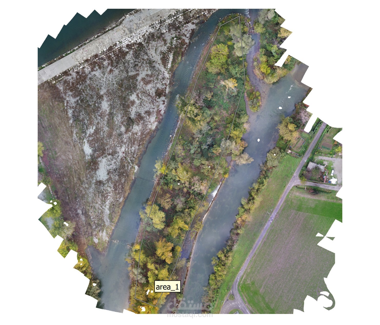
*Designed and executed UAV surveys for 3D model extraction, digital
elevation model (dem) generation.
•Utilized RTK, GNSS, GPS and Zenmuse X5s drone camera for high-precision
data capture.
•Processed data using Agisoft Metashape and MATLAB for hydraulic analysis
and volume estimation.