analysis projects
تفاصيل العمل
As a GIS Specialist, I specialize in spatial analysis and professional map production to support planning, decision-making, and data communication across various sectors. I work with spatial datasets to identify patterns, trends, and spatial relationships, while also producing high-quality cartographic outputs tailored to project goals and audience needs.
Key Responsibilities:
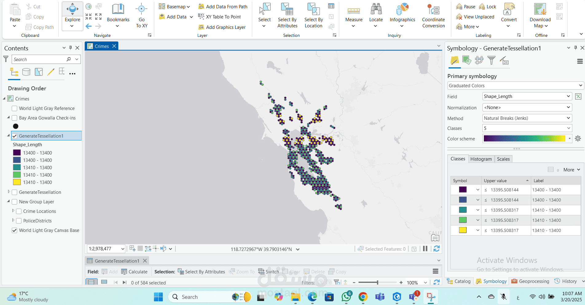
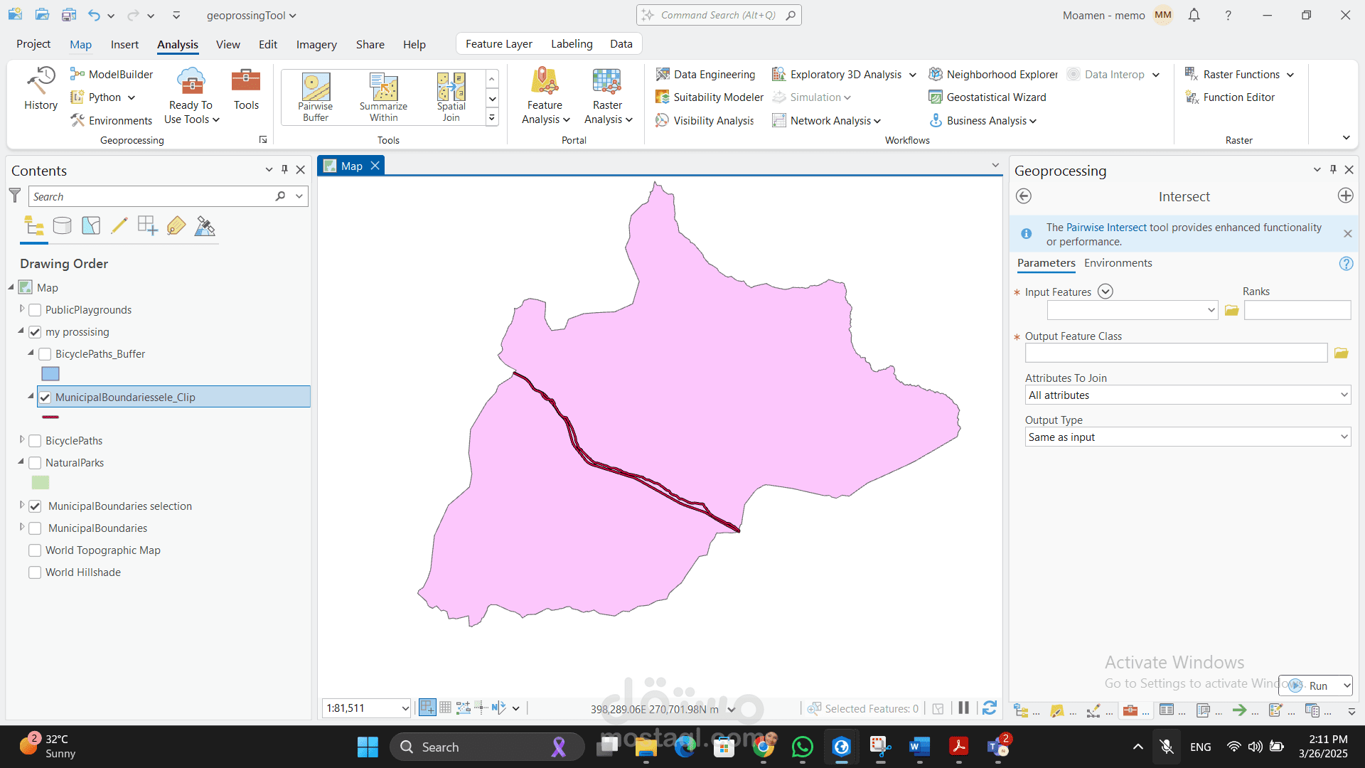
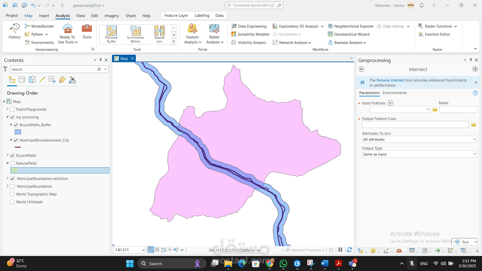
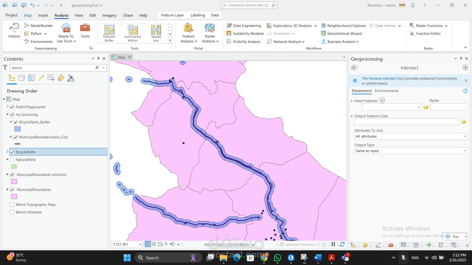
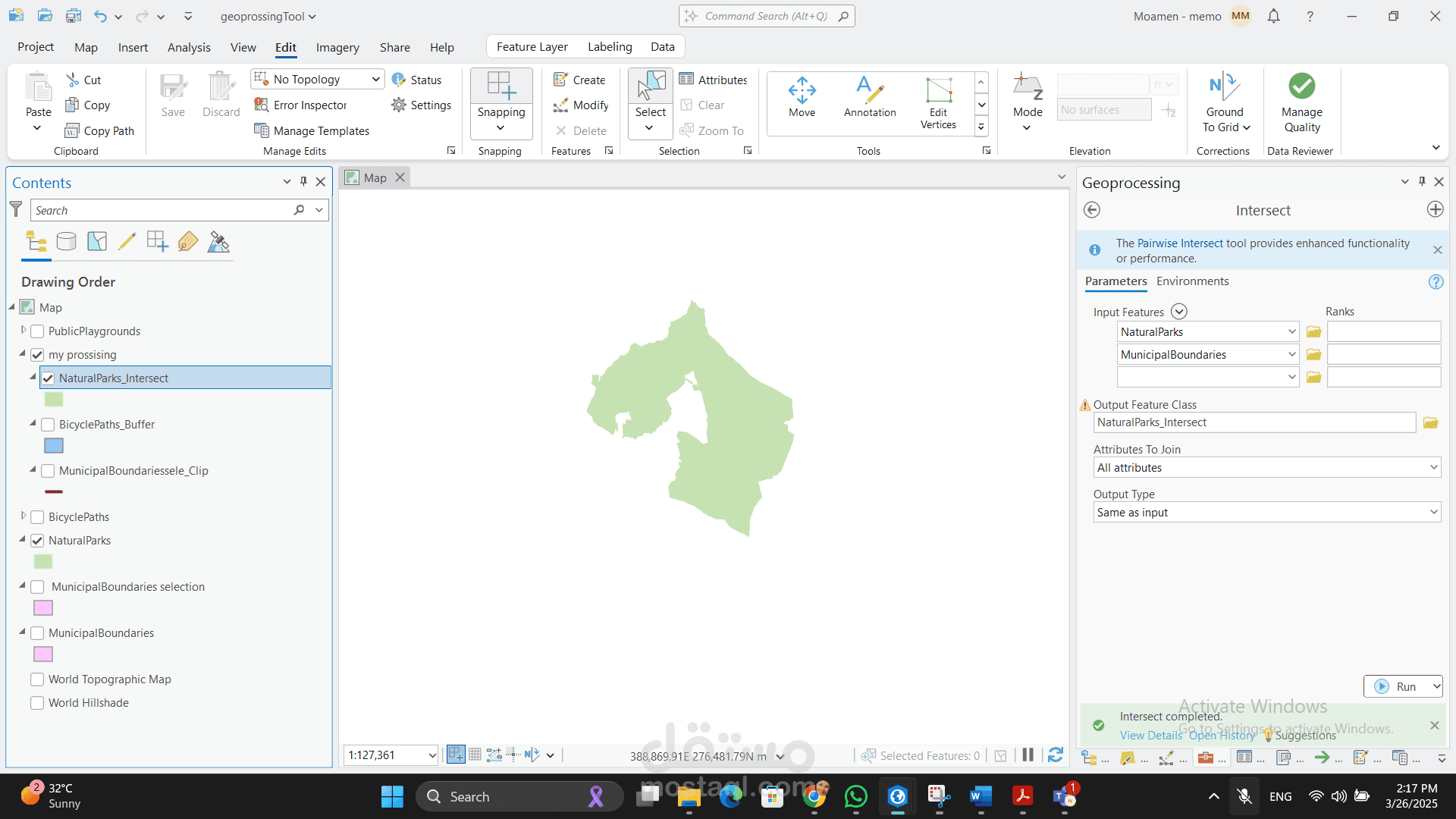
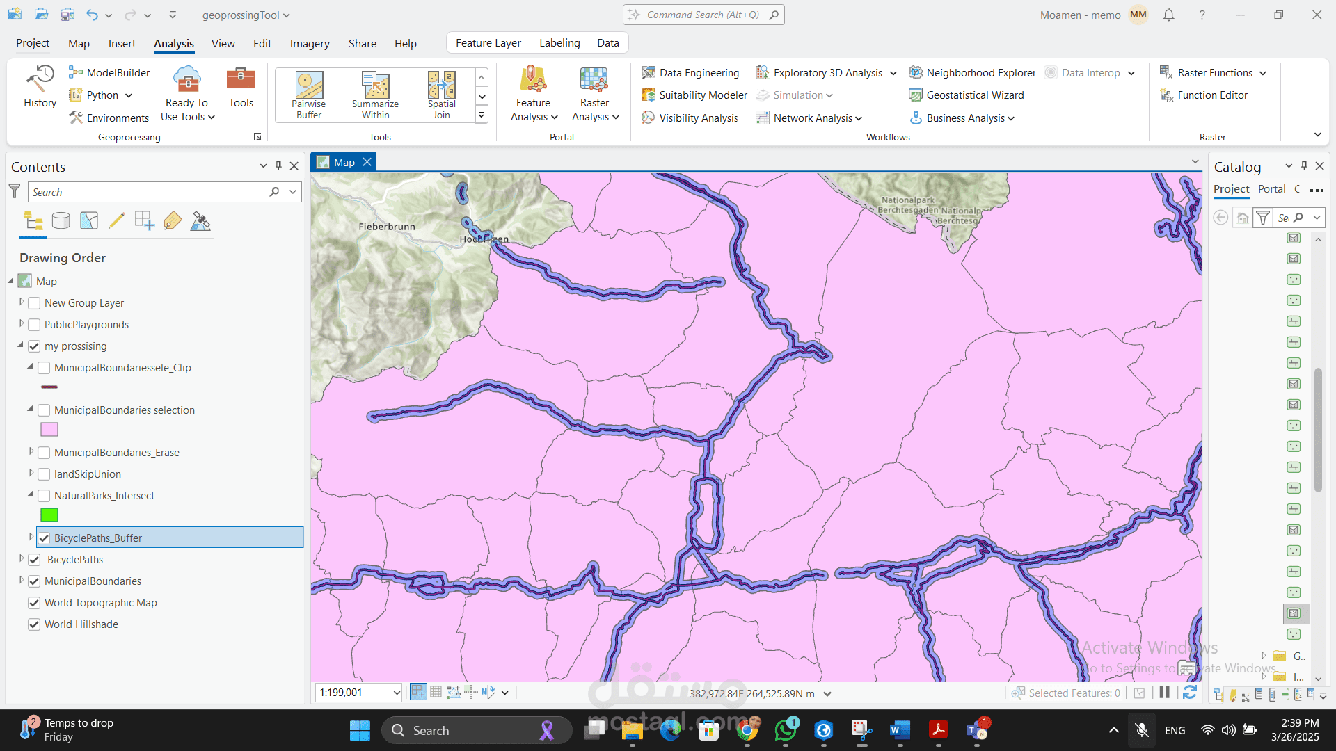
Perform advanced spatial analysis (e.g., clustering, spatial randomness, network analysis) using ArcGIS Pro.
Apply spatial statistics tools such as Average Nearest Neighbor, Moran’s I, and Ripley’s K Function to detect spatial patterns.
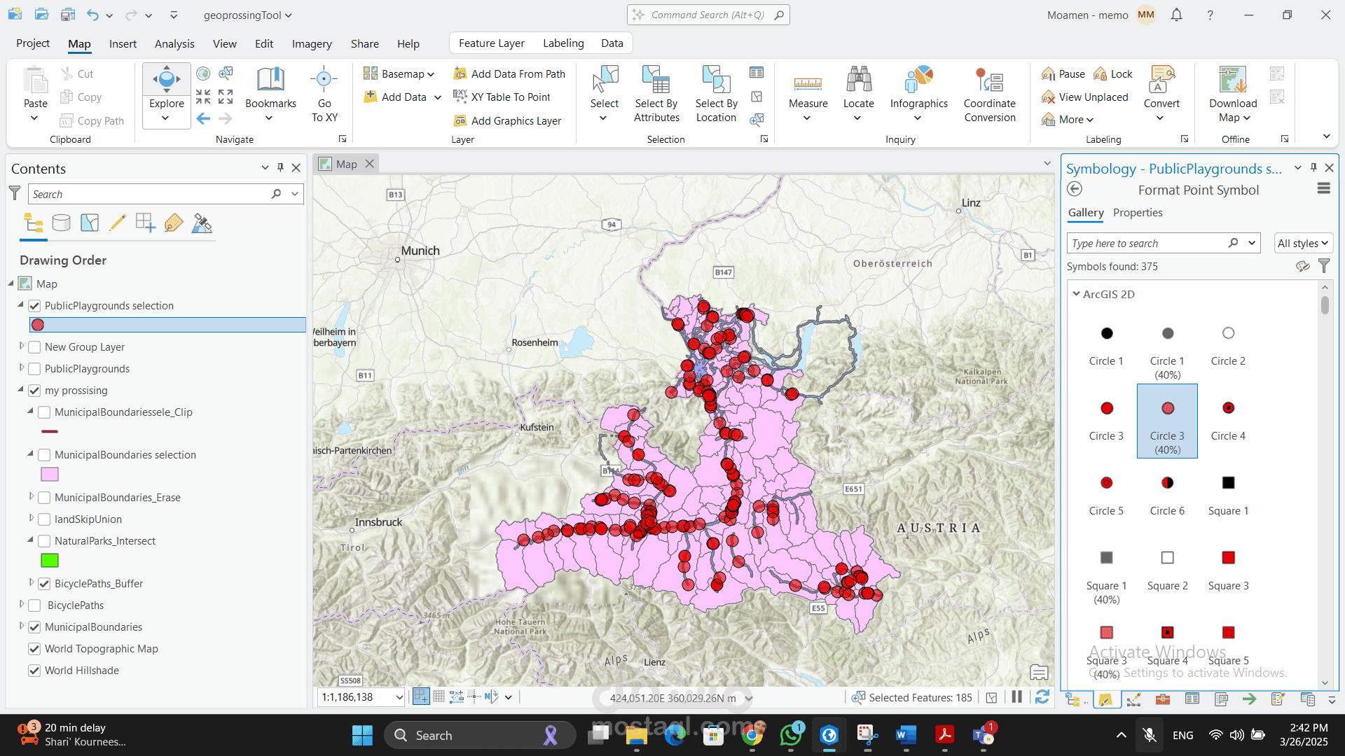
Design and produce professional map layouts (Map Layouts) that include scale bars, north arrows, legends, and titles.
Create visually clear and informative maps that effectively communicate spatial insights.
Convert and integrate data from multiple sources (CAD, satellite imagery, field data) into GIS for analysis and visualization.
Ensure all map outputs meet cartographic standards for clarity, accuracy, and visual hierarchy.
Technical Skills:
ArcGIS Pro (Spatial Analyst, Layout view, Geodatabase management)
Cartographic design and map composition
Spatial statistics and geoprocessing tools
Coordinate system handling and data projection