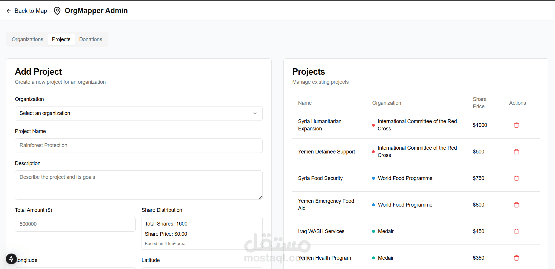
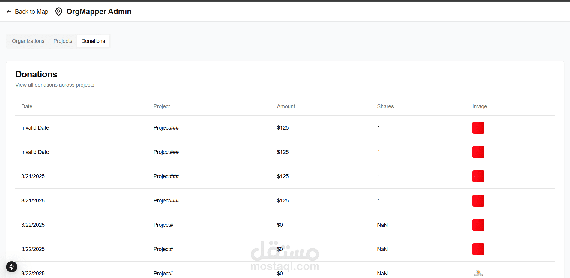
Donation Website
تفاصيل العمل
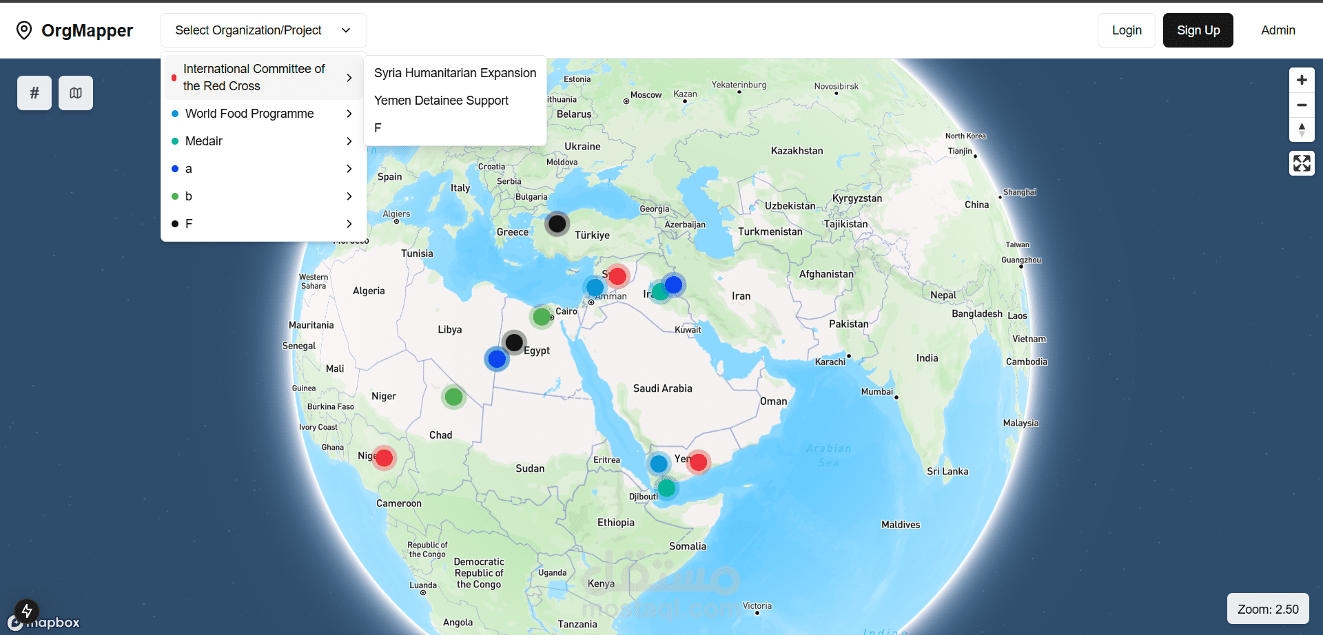
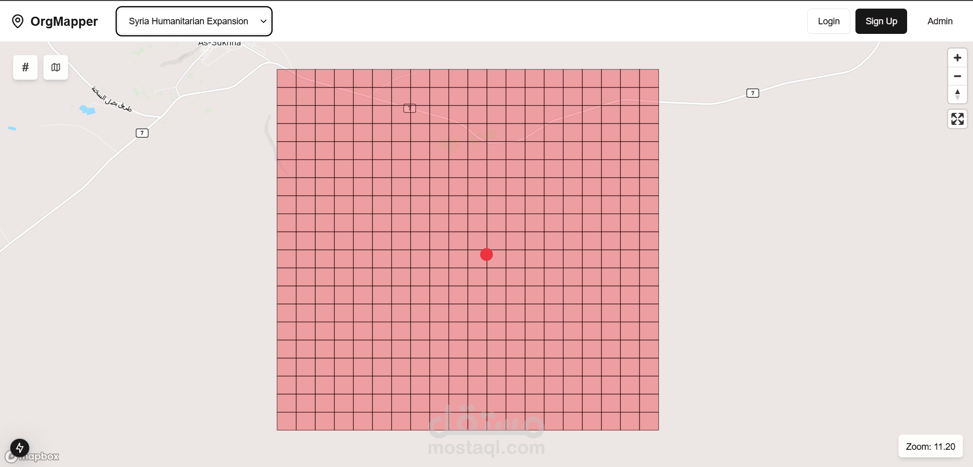
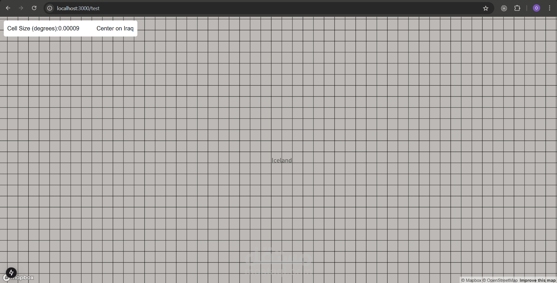
The application uses a dynamic grid system to visualize project areas on the map. I divided the whole world into square cells, and the cells stay the same everywhere, even near the poles.