CO2 Emissions Segmentation from Satellite Images
تفاصيل العمل
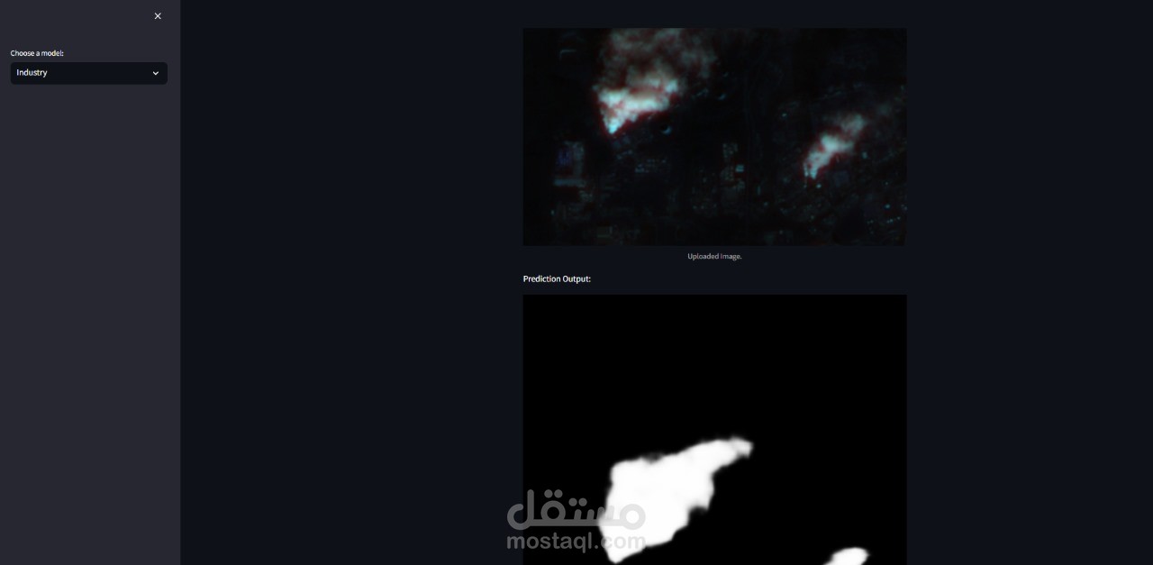
•Developed a deep learning-based system for segmenting CO2 emission regions from satellite
images with 13-channel spectral data (.tif format).
•Utilized and fine-tuned DeepLab models to achieve pixel-level segmentation with high accuracy,
leveraging their capability for capturing multi-scale context.
•Preprocessed large-scale satellite data, handling multi-channel images efficiently and normalizing
spectral bands to enhance feature extraction.
•Designed an end-to-end pipeline for data ingestion, segmentation, and visualization of results,
enabling actionable insights into emission hotspots.