geo field
تفاصيل العمل

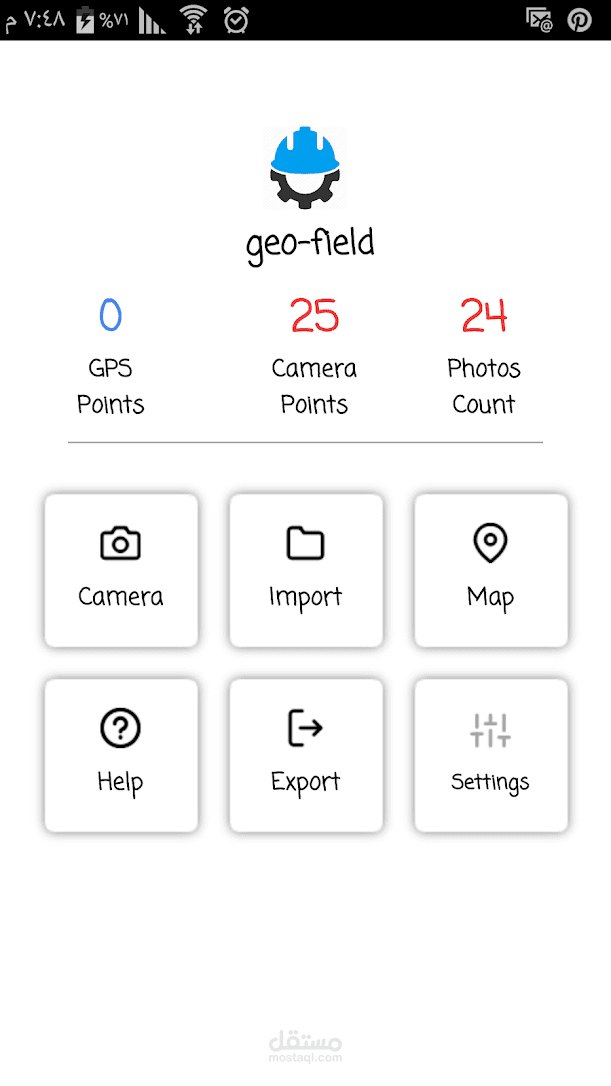
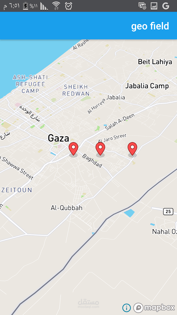
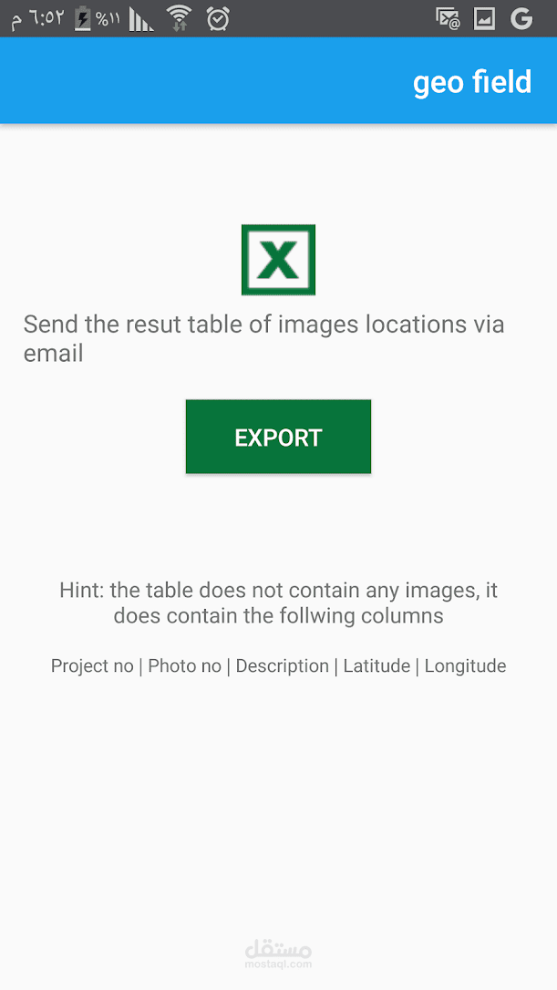
Geo field will help you render your Lat Long points in a map, so you can easily allocate them in the field. in the other hand, Geo field will generate an excel file with all the photos that you take in the field, with its lat, long location, and description data
The main idea of the app, is to import an excel file with specific format that holds a list of Coordinates points. the app will render them in a map, so you can easly find your points in the field