Image Processing for satellite Imagery and Remote Sensing
تفاصيل العمل

Project: Image Processing for satellite Imagery and Remote Sensing.
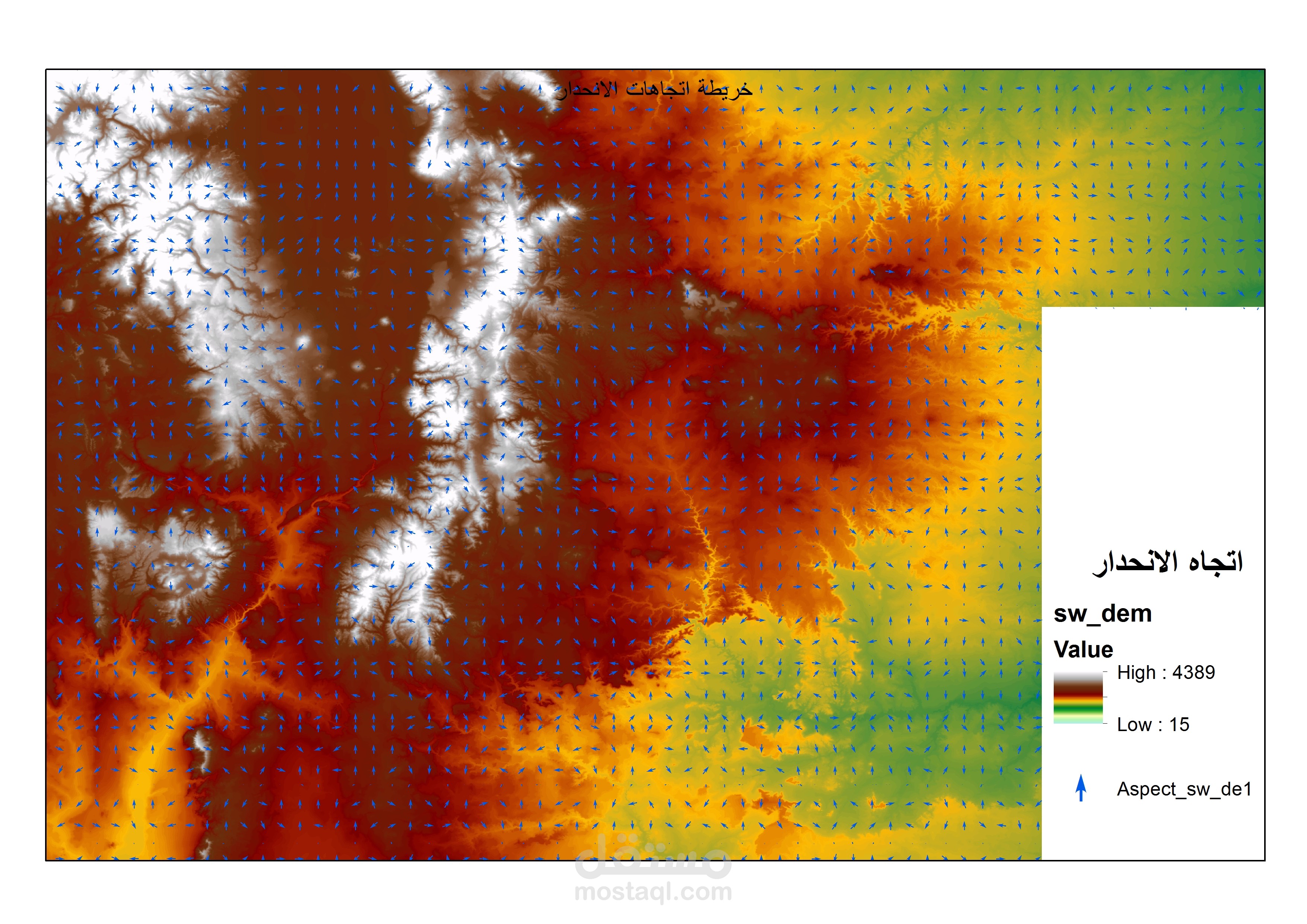
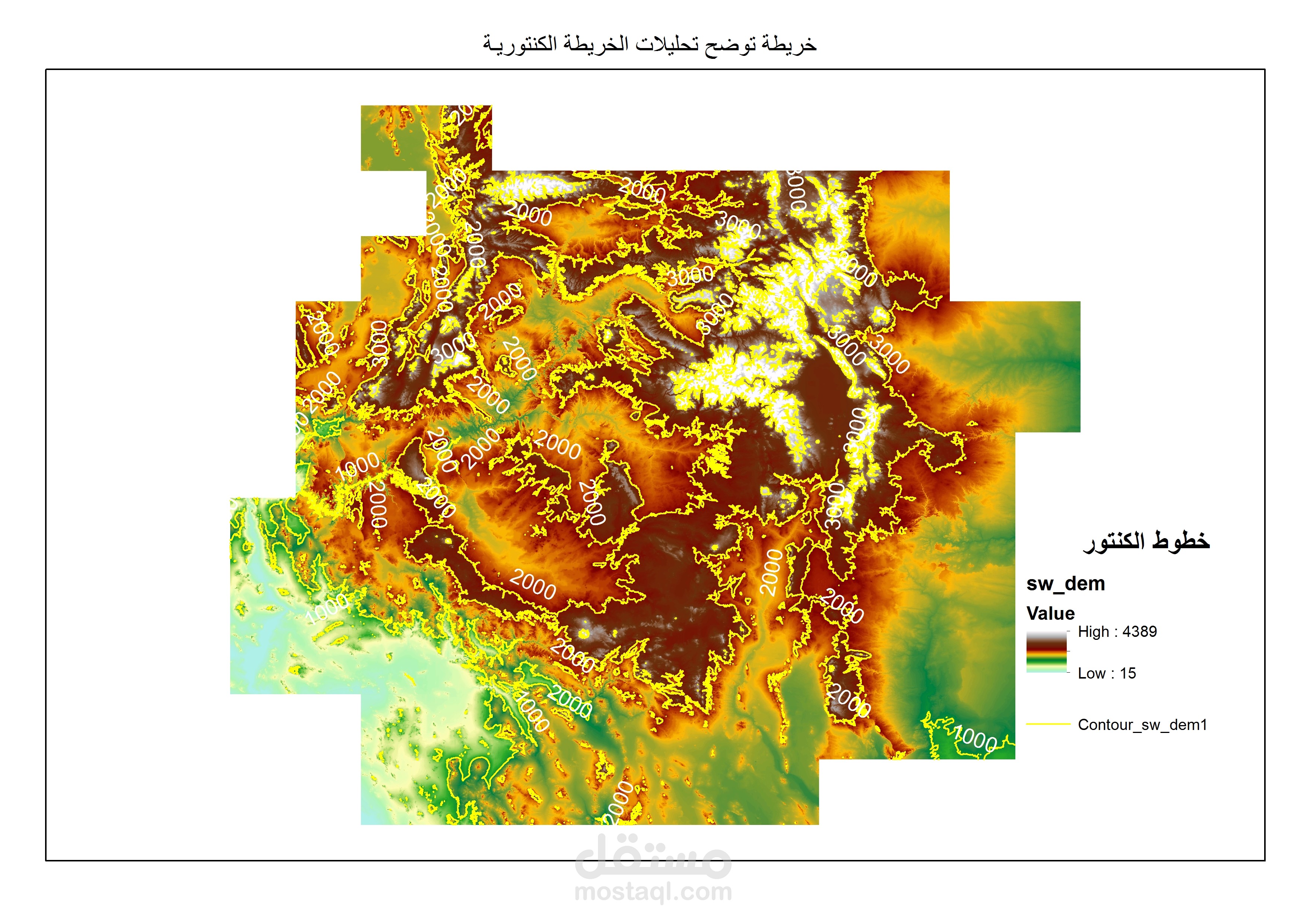
Project description: Remote Sensing processes in the coast region of the red sea, to rescue highways and prevent them from dangerous water floods, comes from the Egyptian western desert.
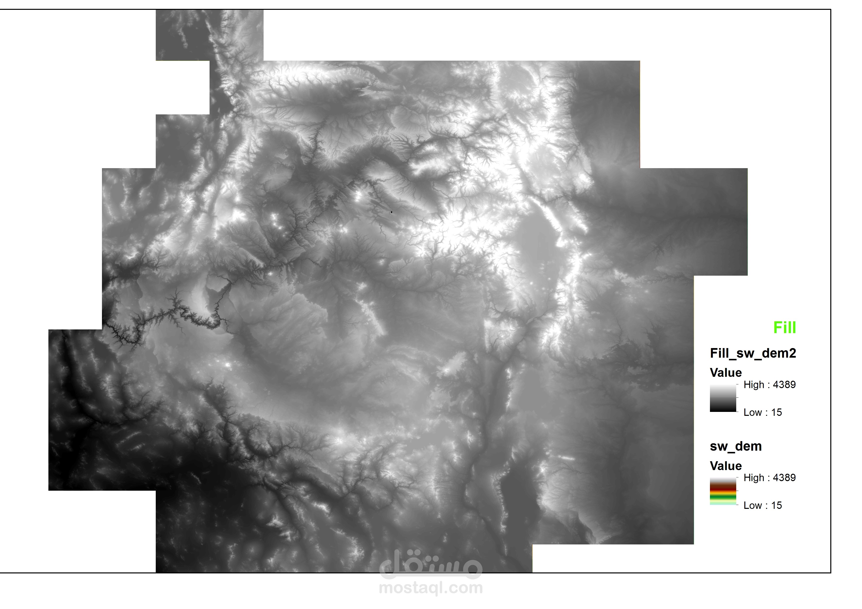
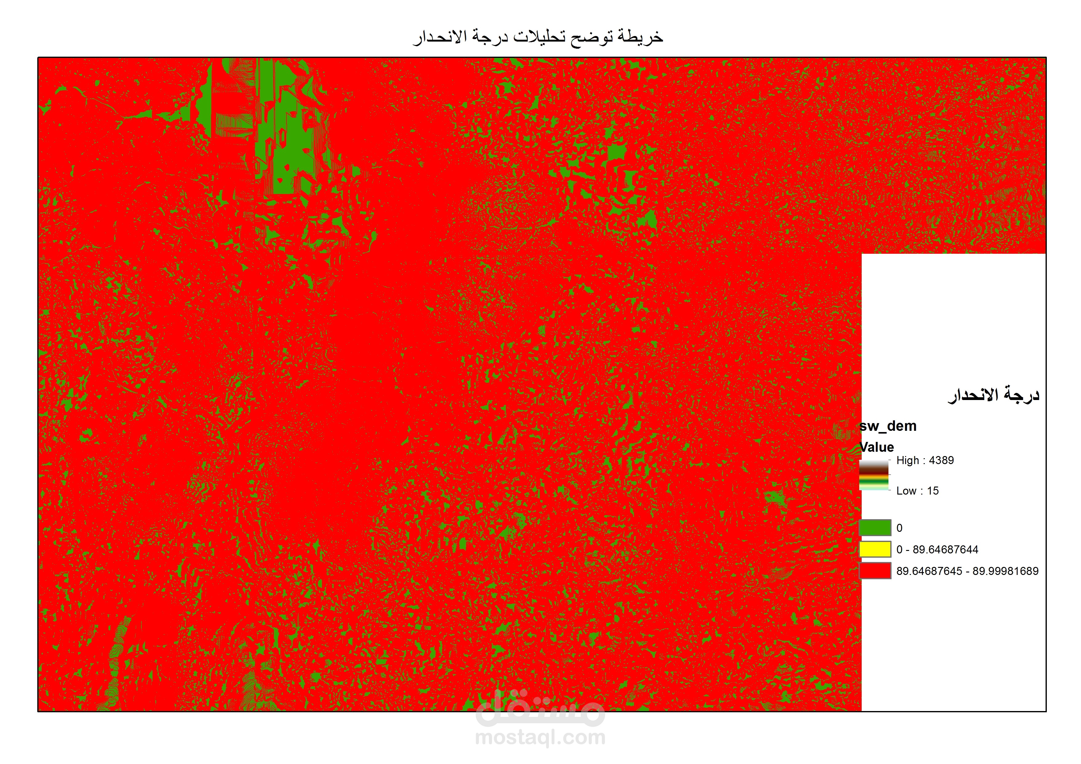
the portfolio demonstrate results of hydrology and basin analysis using ARCGIS desktop 10.3
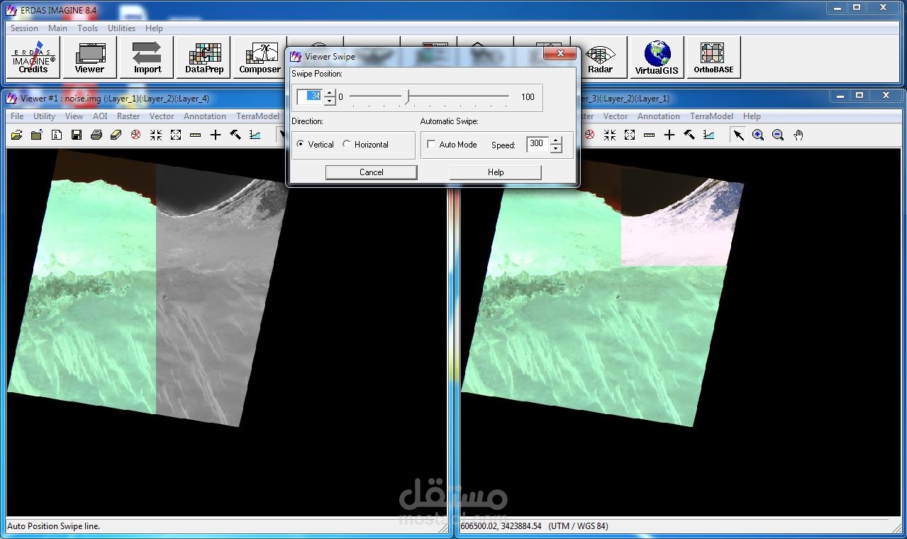
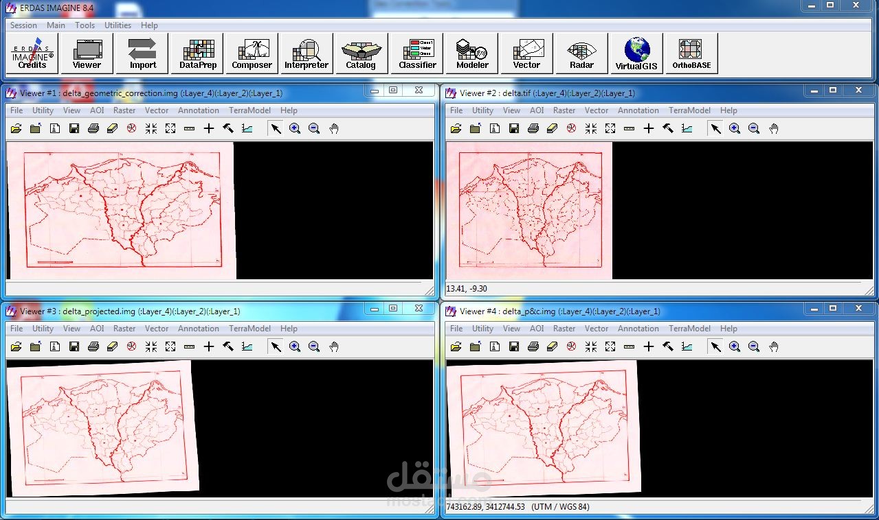
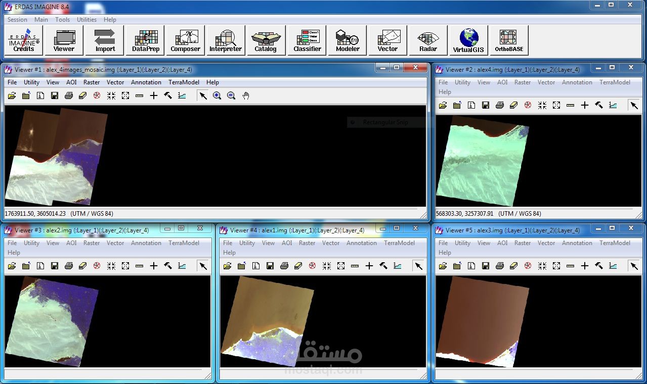
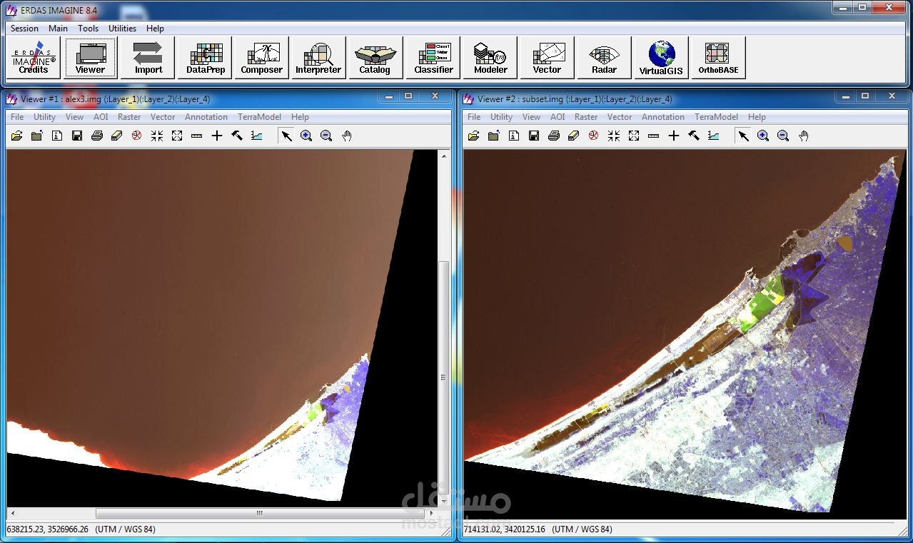
Image preparation and correction using ERDAS Imagine old version.
performed Image mosaic and subset.