SATELLITE IMAGE SCENE CLASSIFICATION
تفاصيل العمل

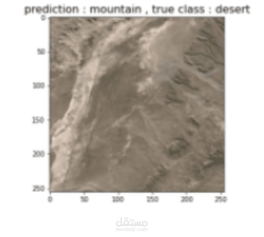
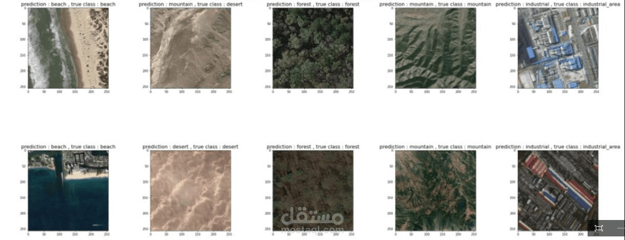
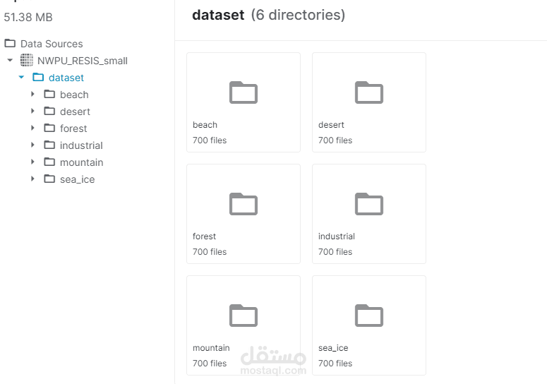
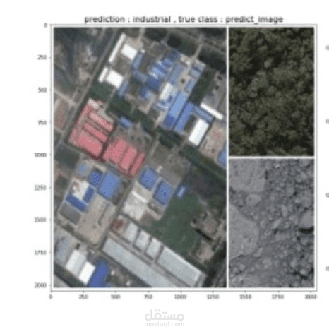
The main idea of this project is to study the images of each desert, beach , industrial area , mountain , sea ice
and forest from satellites Analyze and extract the main features of this place to retrieve the appropriate
information about it for the user. This project is being implemented using CNN.
"الفكره هي عملية تحليل و تقسيم الصور القادمه من القمر الإصطناعي الي عدة أقسام صحراء ، شاطئ ، منطقة صناعية ، جبل ، جليد بحري ،
والغابات ن طريق تحليل الملامح الرئيسيه لهذا المكان بإستخدام الذكاء الإصطناعي"