استكشاف بؤرة وباء الكوليرا باستخدام بايثون
تفاصيل العمل
Project Description
This project is one of the projects offered by DataCamp.
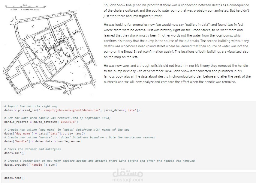
In 1854, Dr. John Snow used a pre-computer method of spatial analysis by mapping patterns and occurrences of cholera outbreaks in Soho, London. He mapped the deaths in the neighbourhood and determined that a vast majority occurred around one particular water well and that those that died used that well.
This is not only one of the earliest uses of data visualization, but by solving this problem, Dr. John Snow also founded spatial analysis and modern epidemiology.
In this Python project, I will reanalyze the data and recreate his famous map.
